ملف:Torna Bjällerup.png

حجم هذه المعاينة: 776 × 599 بكسل. البعد الآخر: 1٬732 × 1٬338 بكسل.
الملف الأصلي (1٬732 × 1٬338 بكسل حجم الملف: 482 كيلوبايت، نوع MIME: image/png)
| ⧼wm-license-information-description⧽ |
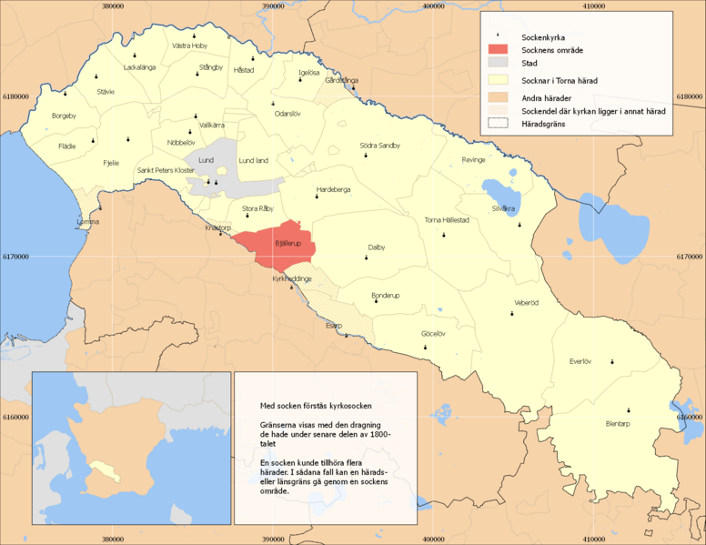
English: Map showing the parish Bjällerup in the hundred of Torna, Skåne, Sweden. Based on Generalstabskartan and häradsekonomiska kartan. Small map made with data from Natural Earth. Terrain mostly reflecting situation in the early 1900s, borders before 1880s. Numbers in margin - SWEREF 99 TM
|
| ⧼wm-license-information-date⧽ | 2011-08-26 08:45 (UTC) |
| ⧼wm-license-information-source⧽ | |
| ⧼wm-license-information-author⧽ |
|
| [This is a retouched picture, which means that it has been digitally altered from its original version. Modifications: png-version. The original can be viewed here: Torna_Lund.svg. Modifications made by Edaen.] Error: {{Lang}}: text has italic markup (help)
|
|
قالب:Original upload log
This image is a derivative work of the following images:
- File:Torna_Lund.svg licensed with Cc-by-sa-3.0
- 2011-08-25T18:29:30Z Edaen 1122x862 (2887799 Bytes) {{Information |Description={{en|1=Map showing the parish Lund in the hundred of Torna, Skåne, Sweden. Based on [http://historiskakartor.lantmateriet.se/arken/s/searchresult.html?series=3&countyRAK=m&page=J243-8-1&archive=RAK
تاريخ الملف
اضغط على زمن/تاريخ لرؤية الملف كما بدا في هذا الزمن.
| زمن/تاريخ | صورة مصغرة | الأبعاد | مستخدم | تعليق | |
|---|---|---|---|---|---|
| حالي | ★ مراجعة معتمدة 04:00، 2 نوفمبر 2023 | | 1٬732 × 1٬338 (482 كيلوبايت) | Pastakhov (نقاش | مساهمات) | Upload https://upload.wikimedia.org/wikipedia/commons/7/77/Torna_Bj%C3%A4llerup.png |
لا يمكنك استبدال هذا الملف.
وصلات
لا يوجد صفحات تصل لهذه الصورة.