ملف:Toledo MSA with Fremont micro in NW Ohio.png

لا توجد دقة أعلى متوفرة.
Toledo_MSA_with_Fremont_micro_in_NW_Ohio.png (688 × 404 بكسل حجم الملف: 58 كيلوبايت، نوع MIME: image/png)
وصف قصير
قالب:Uploaded with en.wp UW marker
| ⧼wm-license-information-description⧽ |
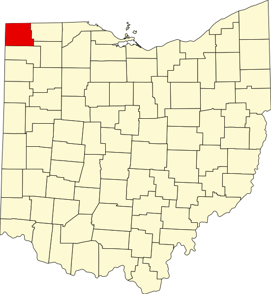
English: The counties in dark green are within the Toledo MSA, whereas the county in light green is the Fremont Micropolitan area and is only included in the Toledo-Fremont, OH CSA. All counties in white are generally considered to be Northwest Ohio.
|
| ⧼wm-license-information-date⧽ | |
| ⧼wm-license-information-source⧽ | https://upload.wikimedia.org/wikipedia/commons/thumb/c/c1/Map_of_Ohio_highlighting_Williams_County.svg/551px-Map_of_Ohio_highlighting_Williams_County.svg.png |
| ⧼wm-license-information-author⧽ | David Benbennick |
- Other information
English: I used Ben's original map as a base for my map, and then changed the colors and added labels.
This file is in the public domain, because It was used for Wikipedia and the author stated it was in the Public domain
Please verify that the reason given above is valid!
Note: if there is a specific licence tag for the reason supplied here, please use it.
Note: if there is a specific licence tag for the reason supplied here, please use it.
تاريخ الملف
اضغط على زمن/تاريخ لرؤية الملف كما بدا في هذا الزمن.
| زمن/تاريخ | صورة مصغرة | الأبعاد | مستخدم | تعليق | |
|---|---|---|---|---|---|
| حالي | ★ مراجعة معتمدة 16:13، 30 أكتوبر 2023 | | 688 × 404 (58 كيلوبايت) | Pastakhov (نقاش | مساهمات) | Upload https://upload.wikimedia.org/wikipedia/commons/1/12/Toledo_MSA_with_Fremont_micro_in_NW_Ohio.png |
لا يمكنك استبدال هذا الملف.
وصلات
لا يوجد صفحات تصل لهذه الصورة.