ملف:The NE half of Pencoed railway station - geograph.org.uk - 2270003.jpg
لا توجد دقة أعلى متوفرة.
The_NE_half_of_Pencoed_railway_station_-_geograph.org.uk_-_2270003.jpg (640 × 519 بكسل حجم الملف: 94 كيلوبايت، نوع MIME: image/jpeg)
وصف قصير
| ⧼wm-license-information-description⧽ |
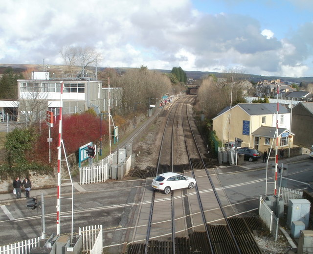
English: The NE half of Pencoed railway station, near to Pencoed, Bridgend/Pen-y-Bont ar Ogwr, Great Britain.
Pencoed railway station is split in two by Hendre Road level crossing. Link |
| ⧼wm-license-information-date⧽ | 2011 |
| ⧼wm-license-information-source⧽ | From geograph.org.uk; transferred by User:Edward using geograph_org2commons. |
| ⧼wm-license-information-author⧽ | John Grayson |
| ⧼wm-license-information-permission⧽ (⧼wm-license-information-permission-reusing-text⧽) |
Creative Commons Attribution Share-alike license 2.0 |
قالب:Location dec قالب:Object location
ترخيص
تاريخ الملف
اضغط على زمن/تاريخ لرؤية الملف كما بدا في هذا الزمن.
| زمن/تاريخ | صورة مصغرة | الأبعاد | مستخدم | تعليق | |
|---|---|---|---|---|---|
| حالي | ★ مراجعة معتمدة 01:44، 11 نوفمبر 2023 | | 640 × 519 (94 كيلوبايت) | Pastakhov (نقاش | مساهمات) | Upload https://upload.wikimedia.org/wikipedia/commons/5/5a/The_NE_half_of_Pencoed_railway_station_-_geograph.org.uk_-_2270003.jpg |
لا يمكنك استبدال هذا الملف.
وصلات
لا يوجد صفحات تصل لهذه الصورة.