ملف:The M50 motorway near Ripple - geograph.org.uk - 453058.jpg
لا توجد دقة أعلى متوفرة.
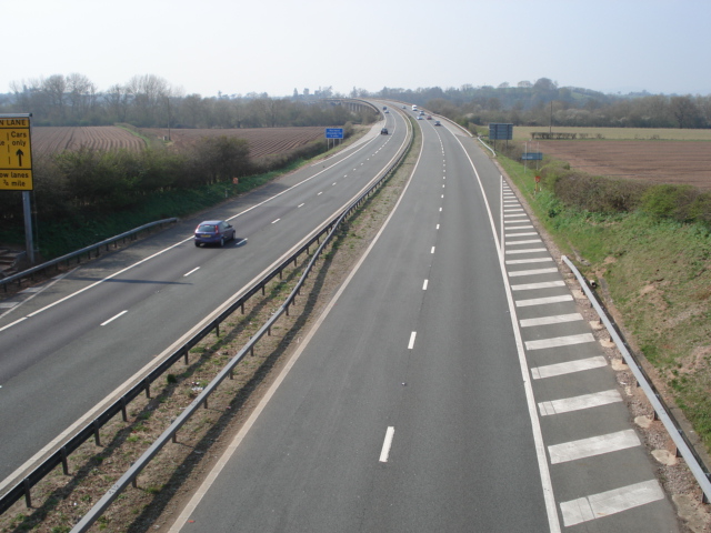
The_M50_motorway_near_Ripple_-_geograph.org.uk_-_453058.jpg (640 × 480 بكسل حجم الملف: 156 كيلوبايت، نوع MIME: image/jpeg)
وصف قصير
| ⧼wm-license-information-description⧽ |
English: The M50 motorway near Ripple Here the road rises to the viaduct over the River Severn
|
| ⧼wm-license-information-date⧽ | 2007 |
| ⧼wm-license-information-source⧽ | From geograph.org.uk |
| ⧼wm-license-information-author⧽ | Trevor Rickard |
| ⧼wm-license-cc-attribution⧽ (قالب:I18n/Credit line) |
Trevor Rickard / The M50 motorway near Ripple / |
52°01′57″N 2°11′04″W / 52.03257°N 2.1844°W قالب:Object location
_heading:247)
ترخيص
تاريخ الملف
اضغط على زمن/تاريخ لرؤية الملف كما بدا في هذا الزمن.
| زمن/تاريخ | صورة مصغرة | الأبعاد | مستخدم | تعليق | |
|---|---|---|---|---|---|
| حالي | ★ مراجعة معتمدة 08:21، 5 نوفمبر 2023 | | 640 × 480 (156 كيلوبايت) | Pastakhov (نقاش | مساهمات) | Upload https://upload.wikimedia.org/wikipedia/commons/1/12/The_M50_motorway_near_Ripple_-_geograph.org.uk_-_453058.jpg |
لا يمكنك استبدال هذا الملف.
وصلات
لا يوجد صفحات تصل لهذه الصورة.