ملف:The A686 below Hartside - geograph.org.uk - 1073084.jpg
لا توجد دقة أعلى متوفرة.
The_A686_below_Hartside_-_geograph.org.uk_-_1073084.jpg (640 × 480 بكسل حجم الملف: 147 كيلوبايت، نوع MIME: image/jpeg)
وصف قصير
| ⧼wm-license-information-description⧽ |
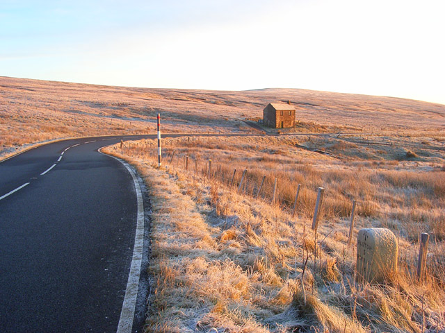
English: The A686 below Hartside The road here is on a long gradual descent into the South Tyne valley. The road, which connects Penrith and Haydon Bridge, is beloved of bikers and was named one of the greatest drives in the country by the AA. Cumbria County Council are responsible for keeping the Cumbrian part free of snow and ice but do not grit the section between Melmerby and Alston after sunset due to safety concerns.
|
| ⧼wm-license-information-date⧽ | 2008 |
| ⧼wm-license-information-source⧽ | From geograph.org.uk |
| ⧼wm-license-information-author⧽ | Andrew Smith |
| ⧼wm-license-cc-attribution⧽ (قالب:I18n/Credit line) |
Andrew Smith / The A686 below Hartside / |
54°46′26″N 2°32′02″W / 54.7740°N 2.534°W قالب:Object location
_heading:45)
ترخيص
تاريخ الملف
اضغط على زمن/تاريخ لرؤية الملف كما بدا في هذا الزمن.
| زمن/تاريخ | صورة مصغرة | الأبعاد | مستخدم | تعليق | |
|---|---|---|---|---|---|
| حالي | ★ مراجعة معتمدة 18:35، 6 أكتوبر 2023 | | 640 × 480 (147 كيلوبايت) | Pastakhov (نقاش | مساهمات) | Upload https://upload.wikimedia.org/wikipedia/commons/5/5c/The_A686_below_Hartside_-_geograph.org.uk_-_1073084.jpg |
لا يمكنك استبدال هذا الملف.
وصلات
لا يوجد صفحات تصل لهذه الصورة.