ملف:Tabernae Rheinzabern Karte.png
حجم هذه المعاينة: 600 × 600 بكسل. البعد الآخر: 2٬400 × 2٬400 بكسل.
الملف الأصلي (2٬400 × 2٬400 بكسل حجم الملف: 1٫81 ميجابايت، نوع MIME: image/png)
وصف قصير
| ⧼wm-license-information-description⧽ | |
| ⧼wm-license-information-date⧽ | 2011 |
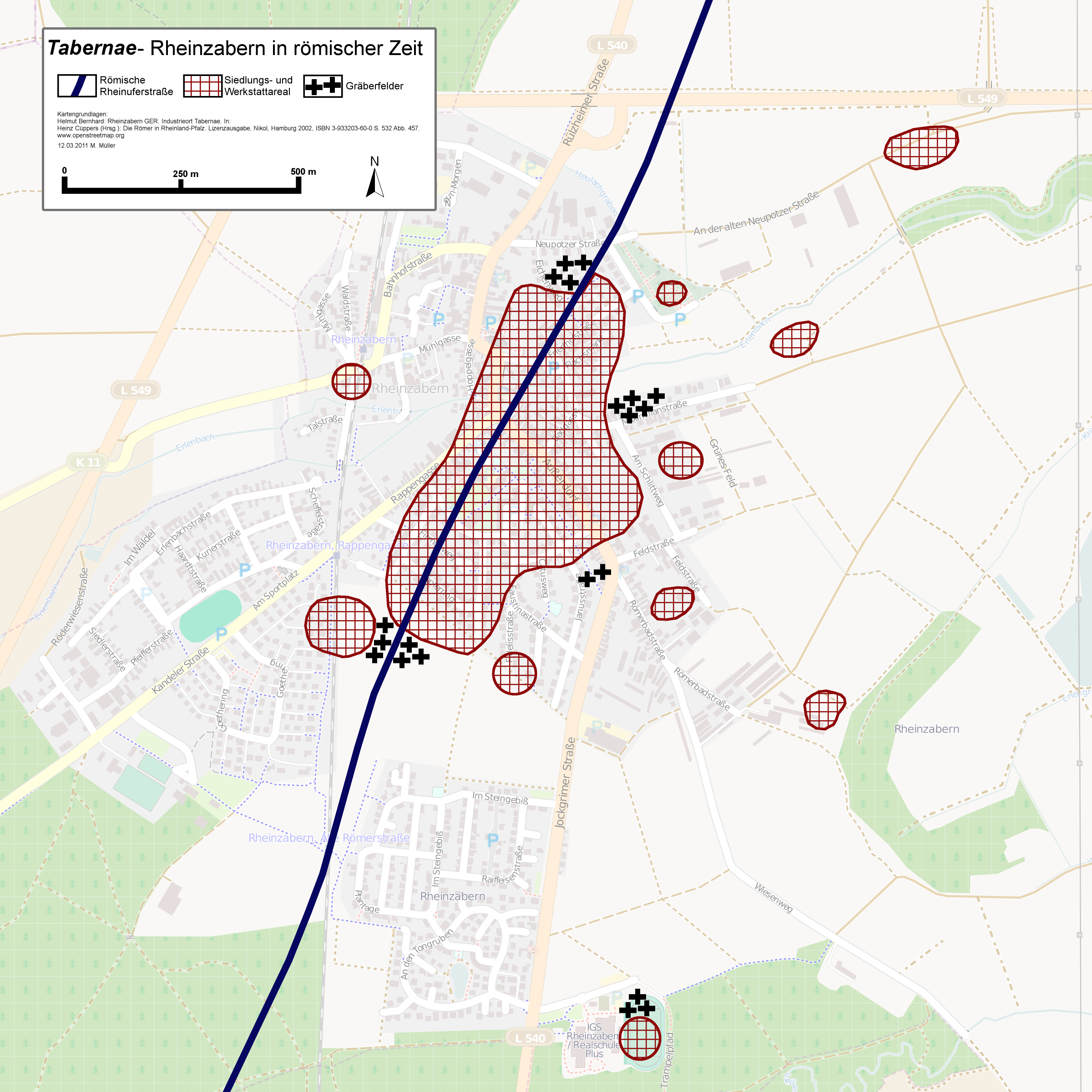
| ⧼wm-license-information-source⧽ | openstreetmap.org [1], literature mentioned in the picture + own work. |
| ⧼wm-license-information-author⧽ | Contributors of the relevant openstreetmap.org data + Haselburg-müller |
ترخيص
تاريخ الملف
اضغط على زمن/تاريخ لرؤية الملف كما بدا في هذا الزمن.
| زمن/تاريخ | صورة مصغرة | الأبعاد | مستخدم | تعليق | |
|---|---|---|---|---|---|
| حالي | ★ مراجعة معتمدة 08:40، 5 ديسمبر 2023 | | 2٬400 × 2٬400 (1٫81 ميجابايت) | Pastakhov (نقاش | مساهمات) | Upload https://upload.wikimedia.org/wikipedia/commons/c/ce/Tabernae_Rheinzabern_Karte.png |
لا يمكنك استبدال هذا الملف.
وصلات
لا يوجد صفحات تصل لهذه الصورة.