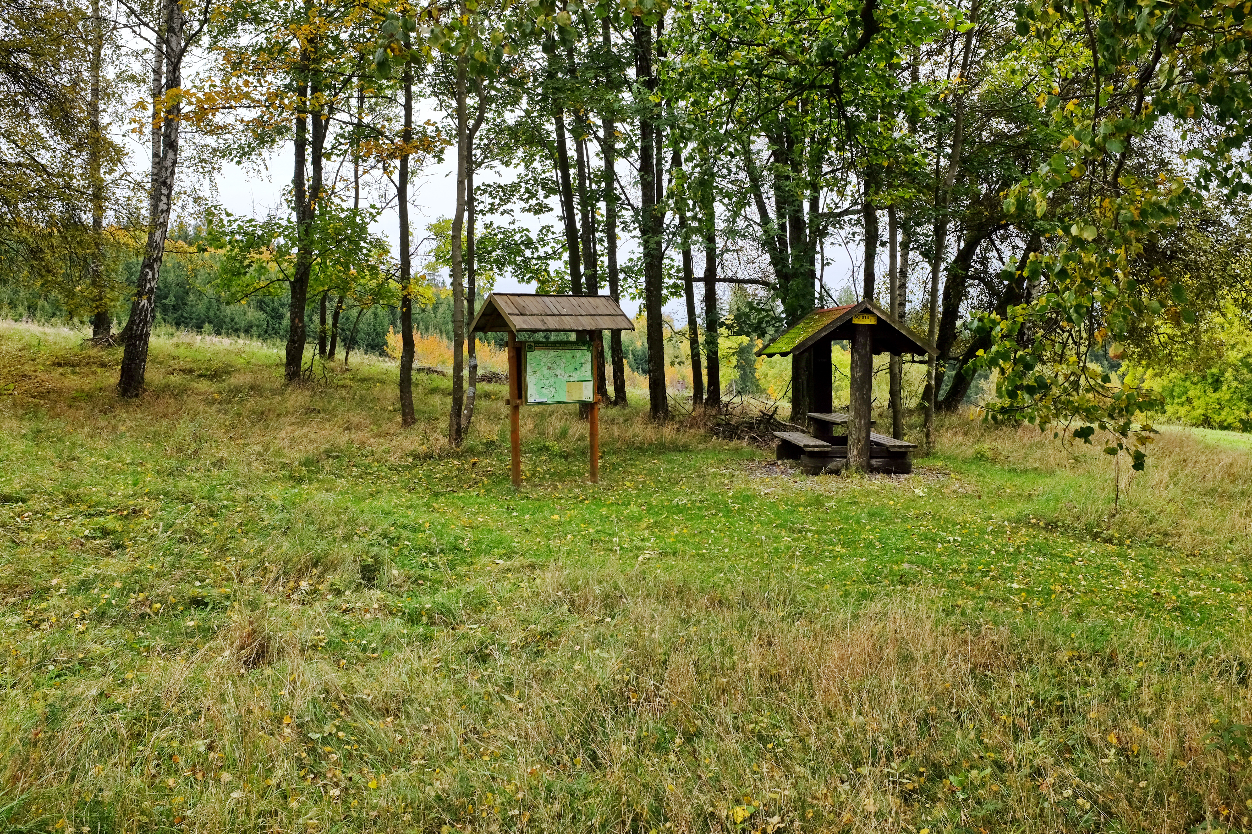
ملف:Týmov infopanel zaniklé osady.jpg
حجم هذه المعاينة: 800 × 533 بكسل. البعدان الآخران: 2٬560 × 1٬706 بكسل | 4٬780 × 3٬186 بكسل.
الملف الأصلي (4٬780 × 3٬186 بكسل حجم الملف: 14٫18 ميجابايت، نوع MIME: image/jpeg)
وصف قصير
| ⧼wm-license-information-description⧽ |
(بالتشيكية) |
| ⧼wm-license-information-date⧽ | 2017, 8:22 pm UTC+15:00 [refresh] |
| ⧼wm-license-information-source⧽ | ⧼Wm-license-own-work⧽ |
| ⧼wm-license-information-author⧽ | Lubor Ferenc |
50°05′37″N 12°36′36″E / 50.093677°N 12.610124°E
ترخيص
|
تاريخ الملف
اضغط على زمن/تاريخ لرؤية الملف كما بدا في هذا الزمن.
| زمن/تاريخ | صورة مصغرة | الأبعاد | مستخدم | تعليق | |
|---|---|---|---|---|---|
| حالي | ★ مراجعة معتمدة 12:54، 21 أكتوبر 2023 | | 4٬780 × 3٬186 (14٫18 ميجابايت) | Pastakhov (نقاش | مساهمات) | Upload https://upload.wikimedia.org/wikipedia/commons/a/a8/T%C3%BDmov_infopanel_zanikl%C3%A9_osady.jpg |
لا يمكنك استبدال هذا الملف.
وصلات
لا يوجد صفحات تصل لهذه الصورة.