ملف:Surmelin.jpg

حجم هذه المعاينة: 450 × 600 بكسل. البعد الآخر: 1٬536 × 2٬048 بكسل.
الملف الأصلي (1٬536 × 2٬048 بكسل حجم الملف: 582 كيلوبايت، نوع MIME: image/jpeg)
وصف قصير
| ⧼wm-license-information-description⧽ |
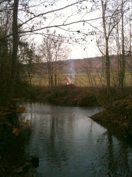
Français : Confluent de la Dhuis et du Surmelin (Parc du château de Condé)
English: A view of Dhuis and Surmelin river meeting point, in Condé-en-Brie, Aisne, France
|
| ⧼wm-license-information-date⧽ | 2009 |
| ⧼wm-license-information-source⧽ | ⧼Wm-license-own-work⧽ |
| ⧼wm-license-information-author⧽ | Aymeri |
49°0′38.37″N 3°33′37.37″E / 49.0106583°N 3.5603806°E
ترخيص
تاريخ الملف
اضغط على زمن/تاريخ لرؤية الملف كما بدا في هذا الزمن.
| زمن/تاريخ | صورة مصغرة | الأبعاد | مستخدم | تعليق | |
|---|---|---|---|---|---|
| حالي | ★ مراجعة معتمدة 22:46، 14 نوفمبر 2023 | | 1٬536 × 2٬048 (582 كيلوبايت) | Pastakhov (نقاش | مساهمات) | Upload https://upload.wikimedia.org/wikipedia/commons/6/66/Surmelin.jpg |
لا يمكنك استبدال هذا الملف.
وصلات
لا يوجد صفحات تصل لهذه الصورة.