ملف:Structure of Central of the Czech republic near Studnice, Chrudim District.JPG
حجم هذه المعاينة: 400 × 600 بكسل. البعد الآخر: 1٬365 × 2٬048 بكسل.
الملف الأصلي (2٬592 × 3٬888 بكسل حجم الملف: 6٫2 ميجابايت، نوع MIME: image/jpeg)
وصف قصير
| ⧼wm-license-information-description⧽ |
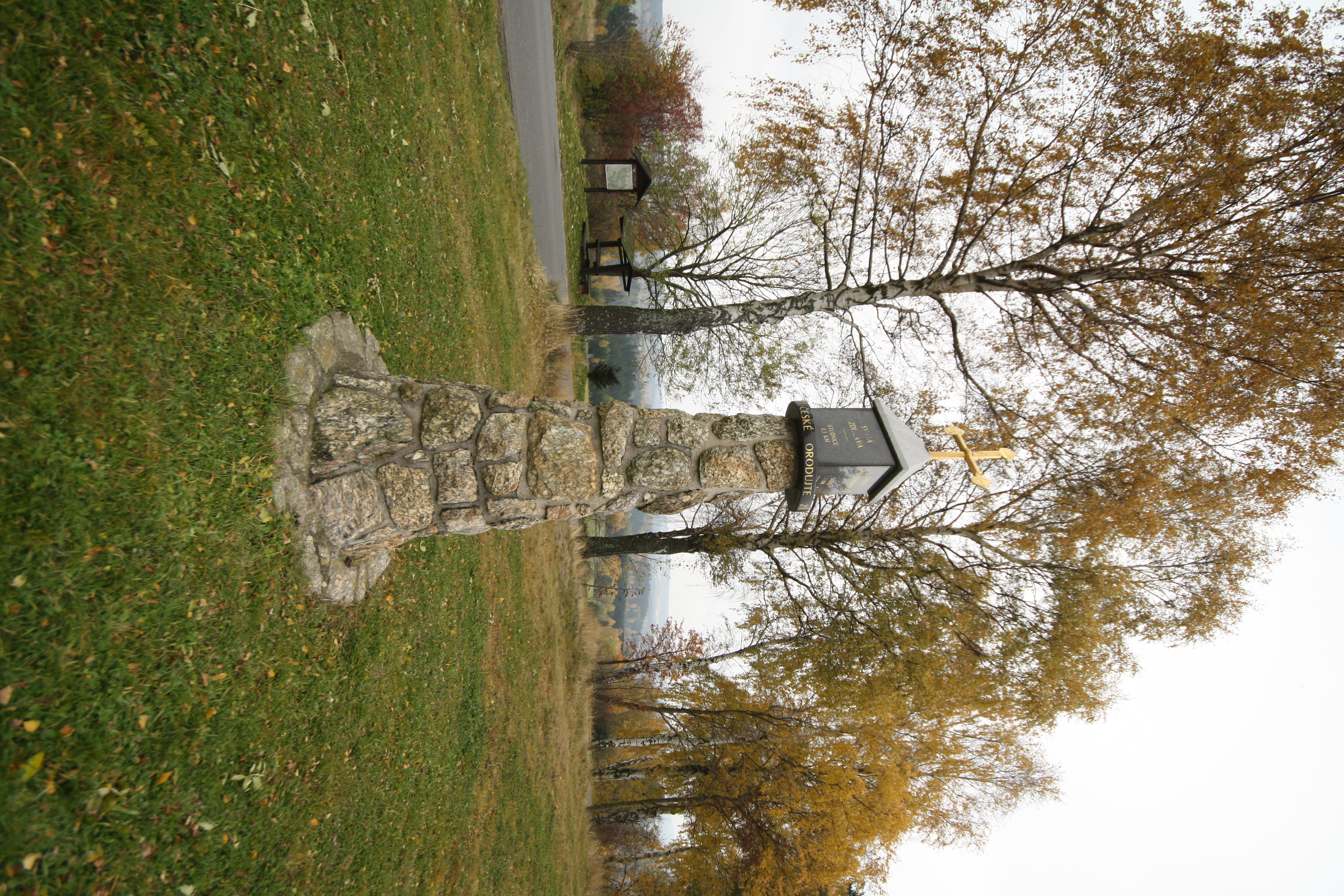
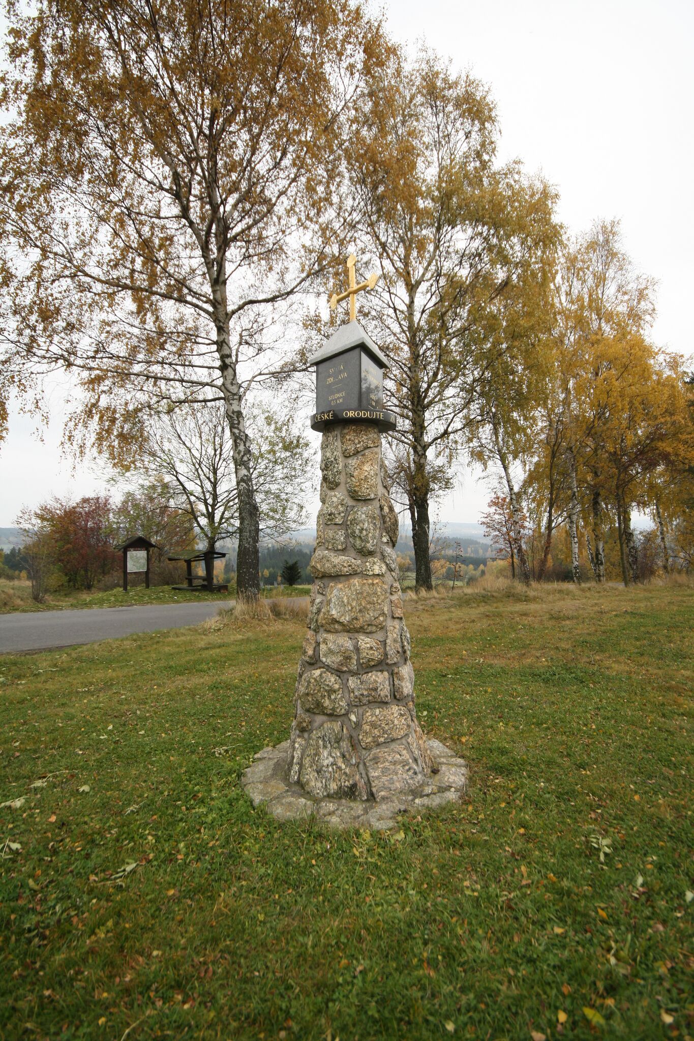
(بالتشيكية) English: Structure of Central of the Czech republic near Studnice, Chrudim District.
|
| ⧼wm-license-information-date⧽ | 2011 |
| ⧼wm-license-information-source⧽ | ⧼Wm-license-own-work⧽ |
| ⧼wm-license-information-author⧽ | Jiří Sedláček |
49°44′32″N 15°54′14″E / 49.74229747°N 15.90384454°E
ترخيص
|
تاريخ الملف
اضغط على زمن/تاريخ لرؤية الملف كما بدا في هذا الزمن.
| زمن/تاريخ | صورة مصغرة | الأبعاد | مستخدم | تعليق | |
|---|---|---|---|---|---|
| حالي | ★ مراجعة معتمدة 15:58، 11 نوفمبر 2023 | | 2٬592 × 3٬888 (6٫2 ميجابايت) | Pastakhov (نقاش | مساهمات) | Upload https://upload.wikimedia.org/wikipedia/commons/0/09/Structure_of_Central_of_the_Czech_republic_near_Studnice%2C_Chrudim_District.JPG |
لا يمكنك استبدال هذا الملف.
وصلات
لا يوجد صفحات تصل لهذه الصورة.