ملف:Statistischer Bezirk Darmstadt Darmstadt-Stadtmitte.svg

حجم معاينة PNG لذلك الملف ذي الامتداد SVG: 463 × 599 بكسل. البعد الآخر: 1٬582 × 2٬048 بكسل.
الملف الأصلي (ملف SVG، أبعاده 693 × 897 بكسل، حجم الملف: 77 كيلوبايت)
وصف قصير
| ⧼wm-license-information-description⧽ |
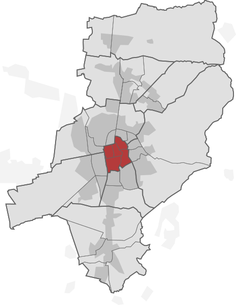
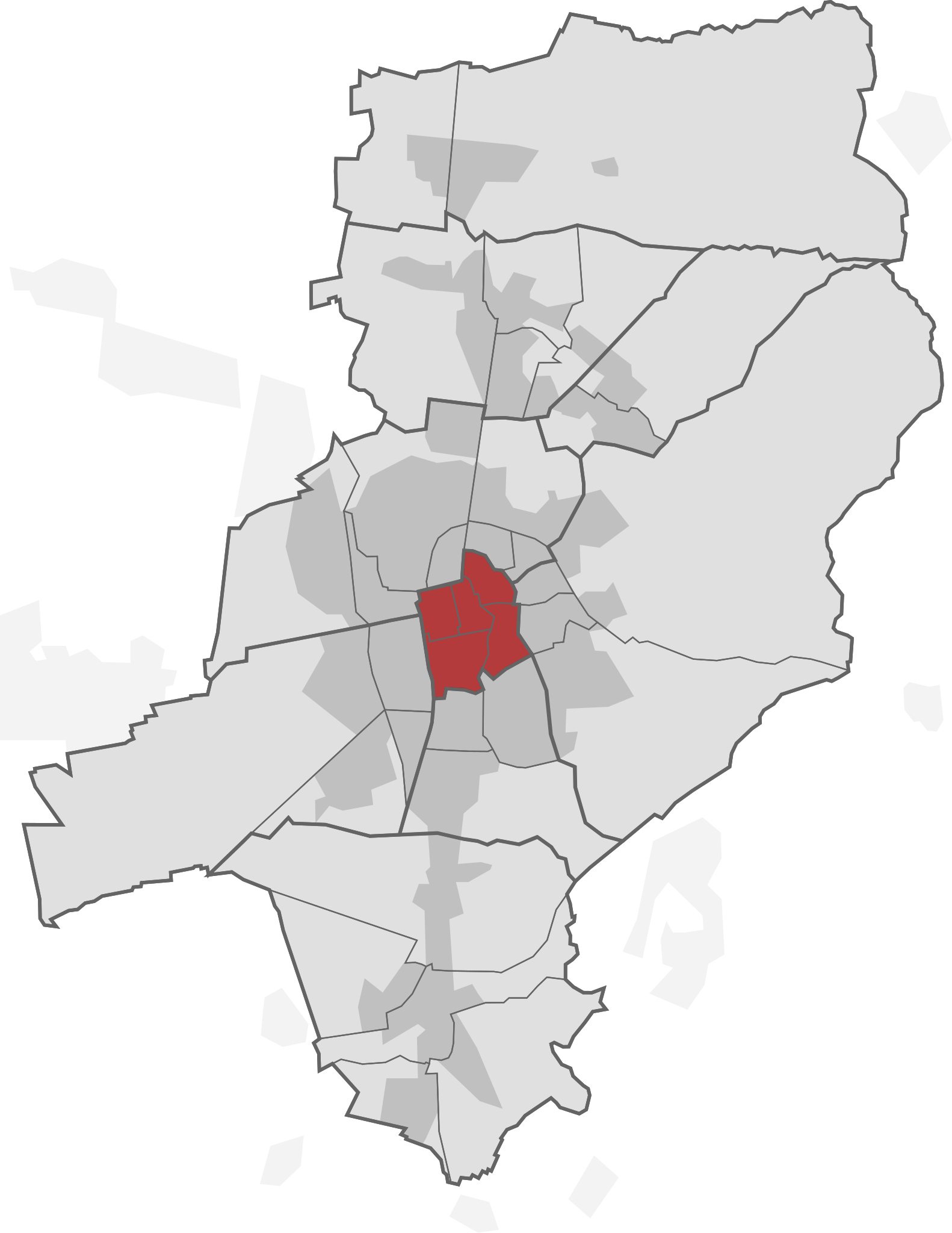
English: This is a map of Darmstadt, Germany with a highlighted district. See the list of Darmstadts districts for more information.
Deutsch: Dies ist eine Karte von Darmstadt mit einem hervorgehobenem Stadtteil. In der Liste der Stadtteile von Darmstadt gibt es mehr Informationen.
|
| ⧼wm-license-information-date⧽ | 2012, {{time}} – invalid date format 13 (help) |
| ⧼wm-license-information-source⧽ | This file is based on File:Map DARMSTADT.svg and File:Gliederung der kreisfreien Stadt Darmstadt.png in the Wikimedia Commons. |
| ⧼wm-license-information-author⧽ | Robot Banana (current version with highlighted districts), LSDSL (vectorized version of the first version) and Stef74 (the first version). |
| ⧼wm-license-information-permission⧽ (⧼wm-license-information-permission-reusing-text⧽) |
Please mention me and the other authors when you share or remix this. |
ترخيص
|
|
هذا الملفُّ مُرخَّص بموجب رخصة المشاع الإبداعي نسبة المُصنَّف إِلى مؤلفه - المشاركة بالمثل 3.0 العامة. |
تاريخ الملف
اضغط على زمن/تاريخ لرؤية الملف كما بدا في هذا الزمن.
| زمن/تاريخ | صورة مصغرة | الأبعاد | مستخدم | تعليق | |
|---|---|---|---|---|---|
| حالي | ★ مراجعة معتمدة 15:13، 6 أكتوبر 2023 | | 693 × 897 (77 كيلوبايت) | Pastakhov (نقاش | مساهمات) | Upload https://upload.wikimedia.org/wikipedia/commons/2/2e/Statistischer_Bezirk_Darmstadt_Darmstadt-Stadtmitte.svg |
لا يمكنك استبدال هذا الملف.
وصلات
لا يوجد صفحات تصل لهذه الصورة.