ملف:St Saviour's and St Olave's school (2) - geograph.org.uk - 1764528.jpg
لا توجد دقة أعلى متوفرة.
St_Saviour's_and_St_Olave's_school_(2)_-_geograph.org.uk_-_1764528.jpg (640 × 480 بكسل حجم الملف: 190 كيلوبايت، نوع MIME: image/jpeg)
وصف قصير
| ⧼wm-license-information-description⧽ |
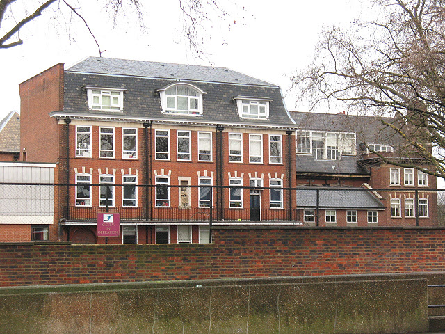
English: St Saviour's & St Olave's school (2) An Anglican girls' high school in Southwark. This is the southern end of the site at the corner of New Kent Road and Bartholomew Street. See also 1764522.
|
| ⧼wm-license-information-date⧽ | 2010 |
| ⧼wm-license-information-source⧽ | From geograph.org.uk |
| ⧼wm-license-information-author⧽ | Stephen Craven |
| ⧼wm-license-cc-attribution⧽ (قالب:I18n/Credit line) |
Stephen Craven / St Saviour's & St Olave's school (2) / |
_-_geograph.org.uk_-_1764522.jpg&action=edit&redlink=1)
51°29′40″N 0°05′21″W / 51.49450°N 0.0891°W قالب:Object location
_-_geograph.org.uk_-_1764528.jpg¶ms=51.4945_N_0.0891_W_source:geograph-osgb36(TQ32757901)_heading:67)
ترخيص
تاريخ الملف
اضغط على زمن/تاريخ لرؤية الملف كما بدا في هذا الزمن.
| زمن/تاريخ | صورة مصغرة | الأبعاد | مستخدم | تعليق | |
|---|---|---|---|---|---|
| حالي | ★ مراجعة معتمدة 16:58، 24 أكتوبر 2023 | | 640 × 480 (190 كيلوبايت) | Pastakhov (نقاش | مساهمات) | Upload https://upload.wikimedia.org/wikipedia/commons/b/b5/St_Saviour%27s_and_St_Olave%27s_school_%282%29_-_geograph.org.uk_-_1764528.jpg |
لا يمكنك استبدال هذا الملف.
وصلات
لا يوجد صفحات تصل لهذه الصورة.
_-_geograph.org.uk_-_1764528.jpg&oldid=3233093)