ملف:St Michael's Church, Upton - geograph.org.uk - 196569.jpg
لا توجد دقة أعلى متوفرة.
St_Michael's_Church,_Upton_-_geograph.org.uk_-_196569.jpg (640 × 480 بكسل حجم الملف: 93 كيلوبايت، نوع MIME: image/jpeg)
وصف قصير
| ⧼wm-license-information-description⧽ |
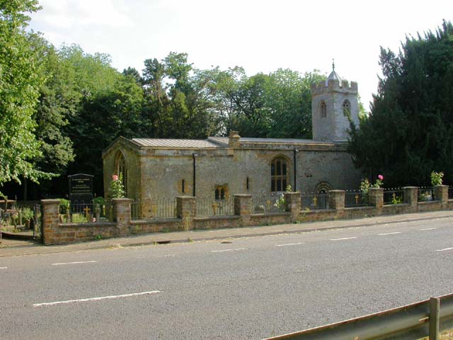
English: St Michael's Church, Upton. The black noticeboard with gold writing to the left of the church states that the building is in the care of the Churches Conservation Trust. Picture taken from the central strip of the A4500 dual carriageway. قالب:Listed building England
|
| ⧼wm-license-information-date⧽ | 2006 |
| ⧼wm-license-information-source⧽ | From geograph.org.uk |
| ⧼wm-license-information-author⧽ | Kokai |
| ⧼wm-license-cc-attribution⧽ (قالب:I18n/Credit line) |
Kokai / St Michael's Church, Upton / |
52°14′10″N 0°57′01″W / 52.236012°N 0.95039°W قالب:Object location
_heading:180)
ترخيص
تاريخ الملف
اضغط على زمن/تاريخ لرؤية الملف كما بدا في هذا الزمن.
| زمن/تاريخ | صورة مصغرة | الأبعاد | مستخدم | تعليق | |
|---|---|---|---|---|---|
| حالي | ★ مراجعة معتمدة 00:13، 9 أكتوبر 2023 | | 640 × 480 (93 كيلوبايت) | Pastakhov (نقاش | مساهمات) | Upload https://upload.wikimedia.org/wikipedia/commons/0/0a/St_Michael%27s_Church%2C_Upton_-_geograph.org.uk_-_196569.jpg |
لا يمكنك استبدال هذا الملف.
وصلات
لا يوجد صفحات تصل لهذه الصورة.