ملف:St Ann's Road, N15 (2) - geograph.org.uk - 756032.jpg
لا توجد دقة أعلى متوفرة.
St_Ann's_Road,_N15_(2)_-_geograph.org.uk_-_756032.jpg (640 × 480 بكسل حجم الملف: 71 كيلوبايت، نوع MIME: image/jpeg)
وصف قصير
| ⧼wm-license-information-description⧽ |
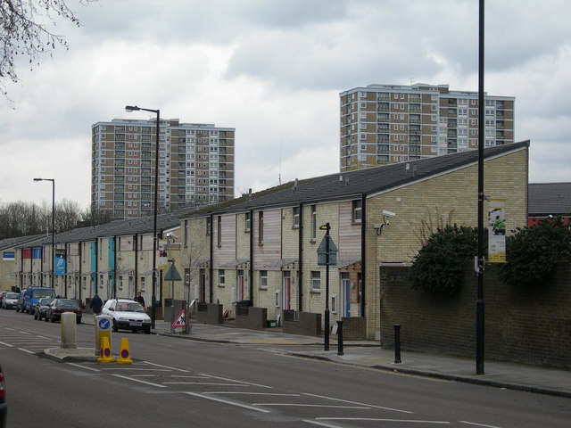
English: St Ann's Road, N15 (2). The houses have recently been updated, and they needed it -- compare them to the ones in this picture 170765
|
| ⧼wm-license-information-date⧽ | 2008 |
| ⧼wm-license-information-source⧽ | From geograph.org.uk |
| ⧼wm-license-information-author⧽ | Danny Robinson |
_-_geograph.org.uk_-_170765.jpg&action=edit&redlink=1)
51°34′50″N 0°05′06″W / 51.58058°N 0.0849°W قالب:Object location
_-_geograph.org.uk_-_756032.jpg¶ms=51.58058_N_0.0849_W_source:geograph-osgb36(TQ32798859)_heading:135)
ترخيص
تاريخ الملف
اضغط على زمن/تاريخ لرؤية الملف كما بدا في هذا الزمن.
| زمن/تاريخ | صورة مصغرة | الأبعاد | مستخدم | تعليق | |
|---|---|---|---|---|---|
| حالي | ★ مراجعة معتمدة 16:52، 9 أكتوبر 2023 | | 640 × 480 (71 كيلوبايت) | Pastakhov (نقاش | مساهمات) | Upload https://upload.wikimedia.org/wikipedia/commons/4/40/St_Ann%27s_Road%2C_N15_%282%29_-_geograph.org.uk_-_756032.jpg |
لا يمكنك استبدال هذا الملف.
وصلات
لا يوجد صفحات تصل لهذه الصورة.
_-_geograph.org.uk_-_756032.jpg&oldid=3041218)
تصنيفات:
- St Ann's Road, London
- Saint Anne streets in the United Kingdom
- Roads and streets in London named after saints
- Roads and streets named after women in London
- B roads in London
- Houses in the London Borough of Haringey
- Terraced houses in London
- 2008 in the London Borough of Haringey
- March 2008 in London
- United Kingdom photographs taken on 2008-03-24