ملف:St. Swithun's Church - geograph.org.uk - 380973.jpg
لا توجد دقة أعلى متوفرة.
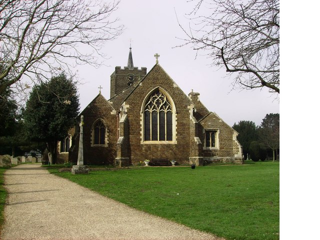
St._Swithun's_Church_-_geograph.org.uk_-_380973.jpg (640 × 480 بكسل حجم الملف: 95 كيلوبايت، نوع MIME: image/jpeg)
وصف قصير
| ⧼wm-license-information-description⧽ |
English: St Swithun's Church. The church is right next to our school and the church is really old.
This picture was taken on a geography field trip discovering land use with St Swithun's V.C. Lower School. This land is used to pray to Christ and God so this means it is religious. |
| ⧼wm-license-information-date⧽ | 2007 |
| ⧼wm-license-information-source⧽ | From geograph.org.uk |
| ⧼wm-license-information-author⧽ | St Swithun's VC Lower School |
| ⧼wm-license-cc-attribution⧽ (قالب:I18n/Credit line) |
St Swithun's VC Lower School / St. Swithun's Church / |
52°07′39″N 0°17′09″W / 52.12751°N 0.2858°W قالب:Object location
_heading:270)
ترخيص
تاريخ الملف
اضغط على زمن/تاريخ لرؤية الملف كما بدا في هذا الزمن.
| زمن/تاريخ | صورة مصغرة | الأبعاد | مستخدم | تعليق | |
|---|---|---|---|---|---|
| حالي | ★ مراجعة معتمدة 11:20، 1 ديسمبر 2023 | | 640 × 480 (95 كيلوبايت) | Pastakhov (نقاش | مساهمات) | Upload https://upload.wikimedia.org/wikipedia/commons/a/a1/St._Swithun%27s_Church_-_geograph.org.uk_-_380973.jpg |
لا يمكنك استبدال هذا الملف.
وصلات
لا يوجد صفحات تصل لهذه الصورة.