ملف:South entrance to Aberfan - geograph.org.uk - 83369.jpg
لا توجد دقة أعلى متوفرة.
South_entrance_to_Aberfan_-_geograph.org.uk_-_83369.jpg (640 × 480 بكسل حجم الملف: 178 كيلوبايت، نوع MIME: image/jpeg)
وصف قصير
| ⧼wm-license-information-description⧽ |
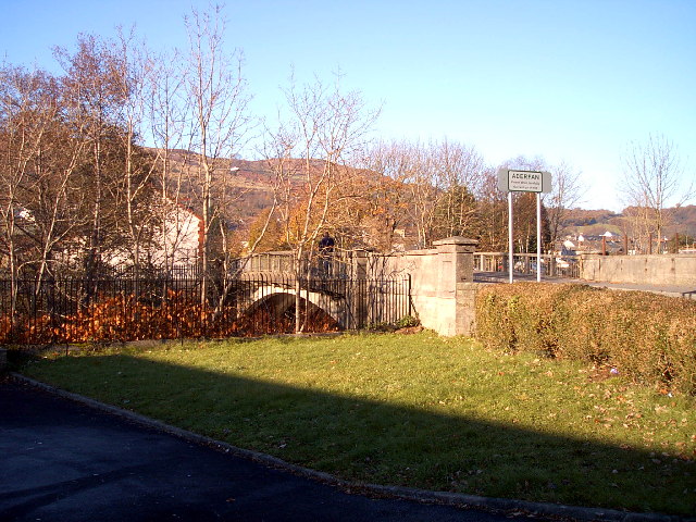
English: South entrance to Aberfan. The bridge over the river Taff marks the boundary between Merthyr Vale in the foreground and Aberfan across the river
|
| ⧼wm-license-information-date⧽ | 2005 |
| ⧼wm-license-information-source⧽ | From geograph.org.uk |
| ⧼wm-license-information-author⧽ | nantcoly |
| ⧼wm-license-cc-attribution⧽ (قالب:I18n/Credit line) |
nantcoly / South entrance to Aberfan / |
51°41′33″N 3°20′35″W / 51.6924°N 3.343°W قالب:Object location
)
ترخيص
تاريخ الملف
اضغط على زمن/تاريخ لرؤية الملف كما بدا في هذا الزمن.
| زمن/تاريخ | صورة مصغرة | الأبعاد | مستخدم | تعليق | |
|---|---|---|---|---|---|
| حالي | ★ مراجعة معتمدة 14:03، 25 نوفمبر 2023 | | 640 × 480 (178 كيلوبايت) | Pastakhov (نقاش | مساهمات) | Upload https://upload.wikimedia.org/wikipedia/commons/d/d6/South_entrance_to_Aberfan_-_geograph.org.uk_-_83369.jpg |
لا يمكنك استبدال هذا الملف.
وصلات
لا يوجد صفحات تصل لهذه الصورة.