ملف:Skyline of Hunnan District, Shenyang drone view 1.jpg
حجم هذه المعاينة: 800 × 450 بكسل. البعدان الآخران: 2٬560 × 1٬440 بكسل | 4٬000 × 2٬250 بكسل.
الملف الأصلي (4٬000 × 2٬250 بكسل حجم الملف: 3٫98 ميجابايت، نوع MIME: image/jpeg)
وصف قصير
| ⧼wm-license-information-description⧽ |
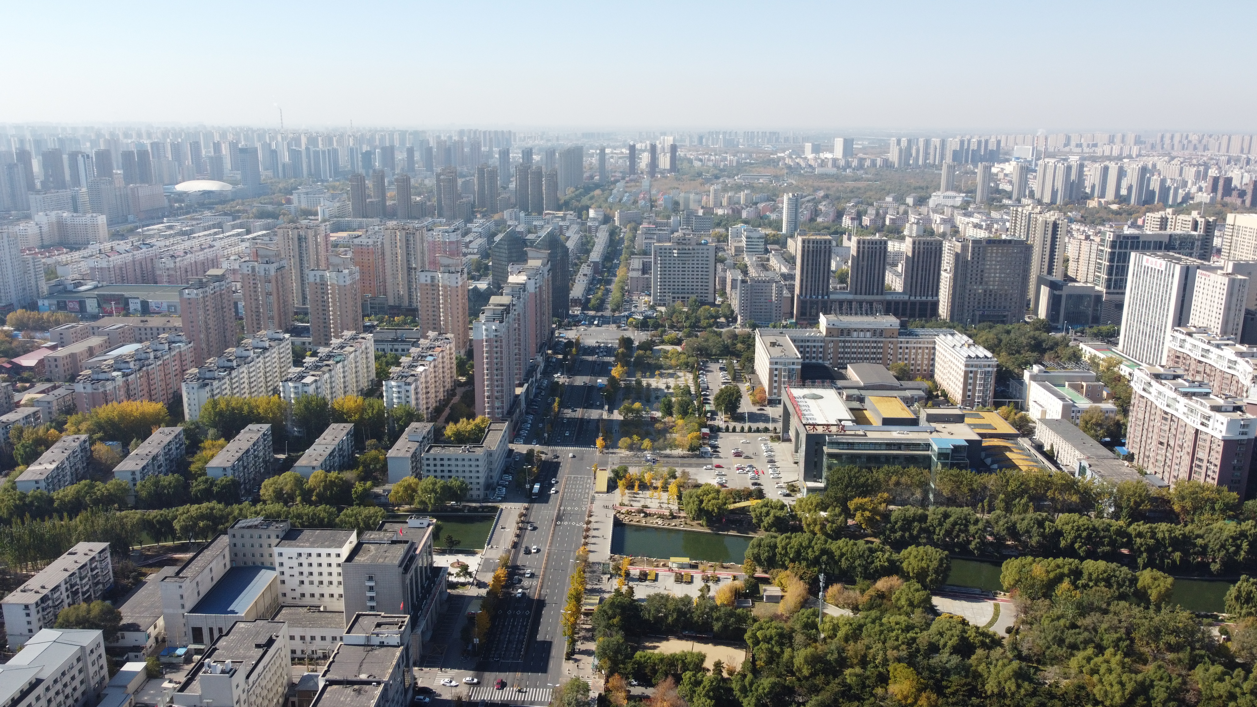
English: Drone view of the skyline of Hunnan District, Shenyang.
صينية: 无人机拍摄的沈阳浑南区天际线。 |
| ⧼wm-license-information-date⧽ | 2020, {{time}} – invalid date format 36 (help) |
| ⧼wm-license-information-source⧽ | ⧼Wm-license-own-work⧽ |
| ⧼wm-license-information-author⧽ | Techyan |
41°50′13″N 123°25′21″E / 41.837071°N 123.42237°E
ترخيص
|
تاريخ الملف
اضغط على زمن/تاريخ لرؤية الملف كما بدا في هذا الزمن.
| زمن/تاريخ | صورة مصغرة | الأبعاد | مستخدم | تعليق | |
|---|---|---|---|---|---|
| حالي | ★ مراجعة معتمدة 16:19، 20 أكتوبر 2023 | | 4٬000 × 2٬250 (3٫98 ميجابايت) | Pastakhov (نقاش | مساهمات) | Upload https://upload.wikimedia.org/wikipedia/commons/b/b8/Skyline_of_Hunnan_District%2C_Shenyang_drone_view_1.jpg |
لا يمكنك استبدال هذا الملف.
وصلات
لا يوجد صفحات تصل لهذه الصورة.