ملف:Shangla District.jpg

حجم هذه المعاينة: 800 × 450 بكسل. البعدان الآخران: 2٬560 × 1٬440 بكسل | 4٬128 × 2٬322 بكسل.
الملف الأصلي (4٬128 × 2٬322 بكسل حجم الملف: 2٫55 ميجابايت، نوع MIME: image/jpeg)
وصف قصير
| ⧼wm-license-information-description⧽ |
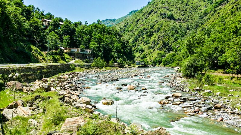
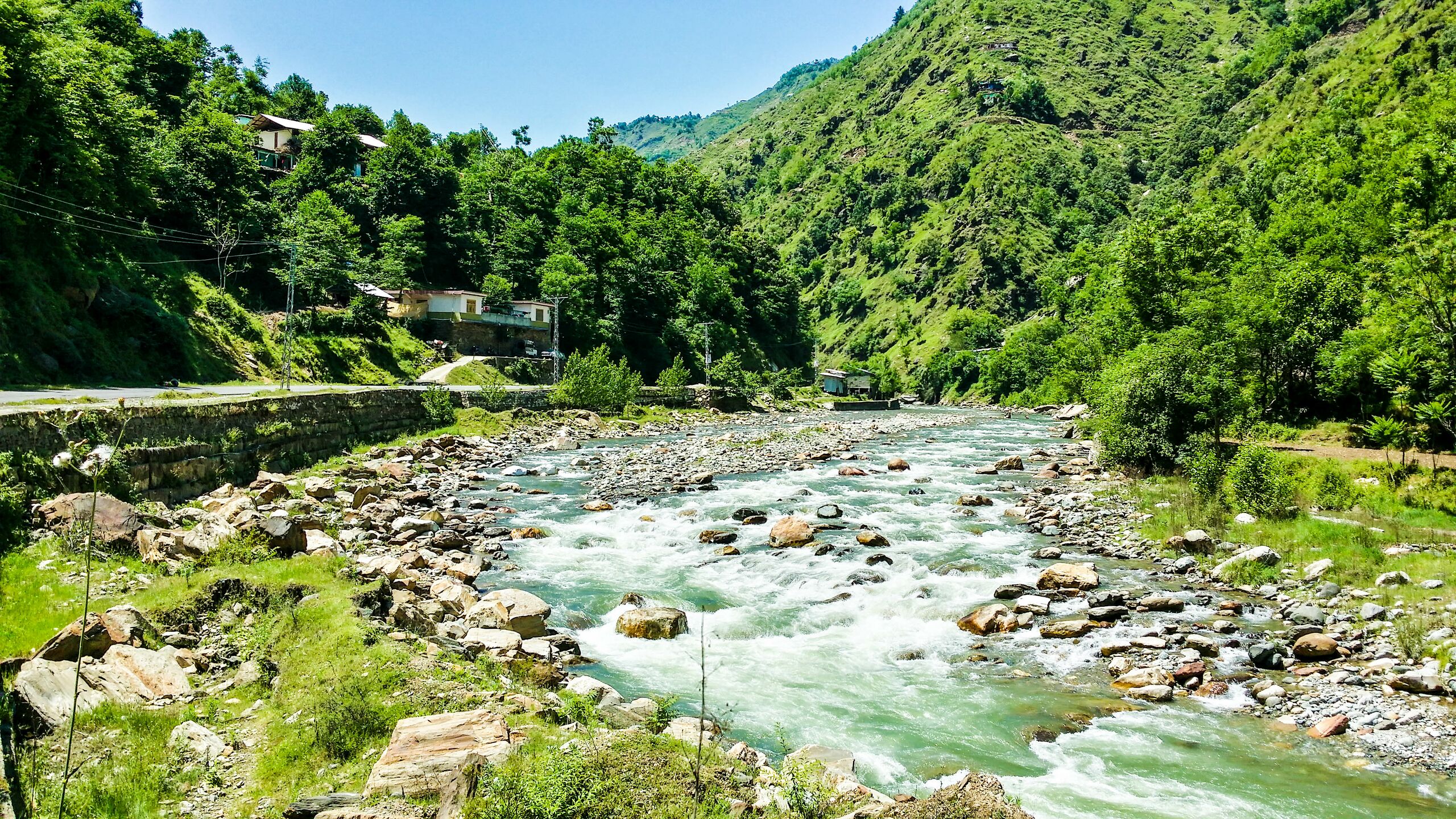
English: Shangla District (Urdu: ضلع شانگه) is located in the Khyber Pakhtunkhwa province of Pakistan. The district headquarters are located at Alpuri.[1] It was previously a subdivision of Swat District, but was upgraded to the status of a district on July 10, 1995[2] by the then Chief Minister Aftab Khan Sherpao. The total area of the district is 1,586 square kilometres.[2] Shangla comprises two sub division, Alpuri and Puran Tehsil.[1] There are four (4) sub tehsils i.e. Besham, Chakesar, Martung and Makhuzai. Shangla has the lowest Human Development Index in the province and second lowest in the country
|
| ⧼wm-license-information-date⧽ | 2015 |
| ⧼wm-license-information-source⧽ | ⧼Wm-license-own-work⧽ |
| ⧼wm-license-information-author⧽ | CerelacKhan |
ترخيص
|
تاريخ الملف
اضغط على زمن/تاريخ لرؤية الملف كما بدا في هذا الزمن.
| زمن/تاريخ | صورة مصغرة | الأبعاد | مستخدم | تعليق | |
|---|---|---|---|---|---|
| حالي | ★ مراجعة معتمدة 04:56، 19 ديسمبر 2023 | | 4٬128 × 2٬322 (2٫55 ميجابايت) | Pastakhov (نقاش | مساهمات) | Upload https://upload.wikimedia.org/wikipedia/commons/6/67/Shangla_District.jpg |
لا يمكنك استبدال هذا الملف.
وصلات
لا يوجد صفحات تصل لهذه الصورة.