ملف:SC-Au Cap.png

حجم هذه المعاينة: 456 × 600 بكسل. البعد الآخر: 457 × 601 بكسل.
الملف الأصلي (457 × 601 بكسل حجم الملف: 15 كيلوبايت، نوع MIME: image/png)
وصف قصير
| ⧼wm-license-information-description⧽ |
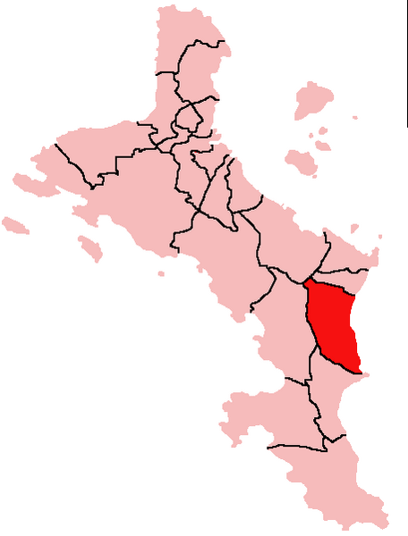
English: Map of Mahe Island, Seychelles showing Au Cap District; created with the GIMP. Made by User:Acntx.
|
| ⧼wm-license-information-date⧽ | قالب:Original upload date |
| ⧼wm-license-information-source⧽ | Transferred from en.wikipedia. |
| ⧼wm-license-information-author⧽ | Acntx at en.wikipedia |
ترخيص
قالب:Original upload log
- 2006-01-19 23:23 Acntx 457×601× (8310 bytes)
تاريخ الملف
اضغط على زمن/تاريخ لرؤية الملف كما بدا في هذا الزمن.
| زمن/تاريخ | صورة مصغرة | الأبعاد | مستخدم | تعليق | |
|---|---|---|---|---|---|
| حالي | ★ مراجعة معتمدة 12:57، 9 نوفمبر 2023 | | 457 × 601 (15 كيلوبايت) | Pastakhov (نقاش | مساهمات) | Upload https://upload.wikimedia.org/wikipedia/commons/9/98/SC-Au_Cap.png |
لا يمكنك استبدال هذا الملف.
وصلات
لا يوجد صفحات تصل لهذه الصورة.