ملف:Sénégal drainage basin map-fr.svg

الملف الأصلي(ملف SVG، أبعاده 1٬296 × 830 بكسل، حجم الملف: 3٫53 ميجابايت)

⧼wm-license-information-description⧽
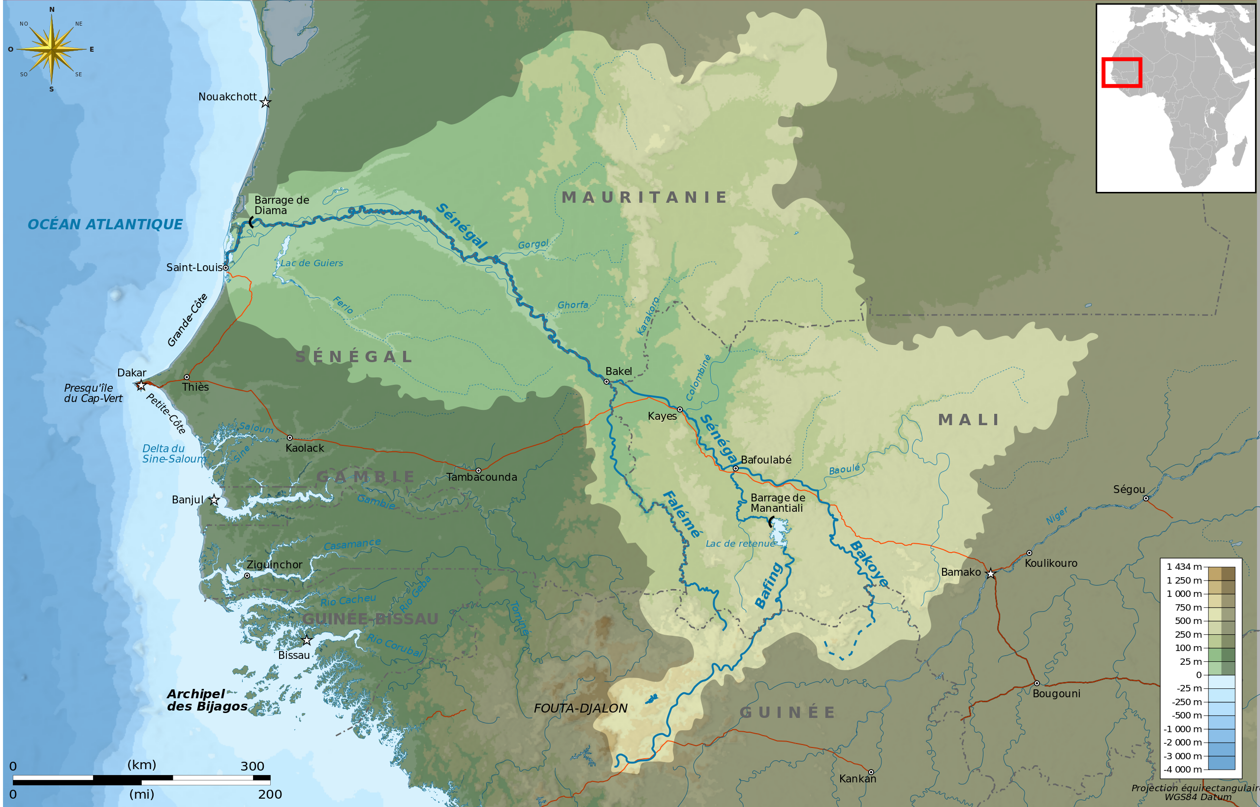
Français : Bassin versant en français du fleuve Sénégal
Deutsch: Einzugsgebiet zum Senegal, in Französische
English: Drainage basin in French of Sénégal River
Español: Cuenca hidrográfica en francès del Río Senegal
Italiano: Bacino idrografico de Senegal
(Japanese)(Portuguese)
⧼wm-license-information-date⧽ 2010
⧼wm-license-information-source⧽
Français : Création personnelle ;
  • Bassin versant identique à File:Senegalrivermap.png, provenant de l'USGS : GTOPO [1]
  • Projection UTM ; système géodésique WGS84 ; relief ombré (image d'éclairage du N-O) ;
  • Topographie et bathymétrie : fichiers ETOPO1 de la National Geophysisal Data Center, éditées avec Global Mapper 9 (version limitée : dlgv32Pro), de l'United States Geological Survey (USGS) ;
  • Côtes, fleuves, villes, frontières, routes : Openstreetmap ;
  • Carte de situation dérivée de File:BlankMap-World6.svg
  • Autres symboles provenant de File:Maps template-fr.svg
  • Échelle approximative des données topographiques pour les srtm3: 1:0 372 000 ;
  • Note : Le relief est une image bitmap embarquée dans le fichier SVG et édité avec The Gimp.
  • Approximate geographic limits of the map (3' close) :
    * SW corner : 10°00'00"N – 19°00'00"W
    * SE corner : 10°00'00"N – 5°00'00"W
    * NE corner : 19°00'00"N – 5°00'00"W
    * NW corner : 19°00'00"N – 19°00'00"W
English: Own work ;
  • Drainage basin from File:Senegalrivermap.png, from USGS : GTOPO [2]
  • Topography & Bathymetry : NGDC ETOPO1 edited with Global Mapper 9 (dlgv32pro limited edition), de l'United States Geological Survey (USGS);
  • UTM projection ; WGS84 datum ; shaded relief (image of N-W lightning position) ;
  • Coast, rivers, cities, borders, roads : Openstreetmap;
  • Locator map from File:BlankMap-World6.svg
  • Others symbols from File:Maps template-fr.svg
  • Approximate scale of topographic data : 1:0,372,000 ;
  • Note : The relief is a raster image embedded in the SVG file.
⧼wm-license-information-author⧽ Bourrichon - fr:Bourrichon
⧼wm-license-information-permission⧽
(⧼wm-license-information-permission-reusing-text⧽)

مستخدم:Bourrichon/Credits

I, the copyright holder of this work, hereby publish it under the following licenses:
GFDL
يسمح بنسخ و توزيع و/أو تعديل هذا المستند وفق شروط رخصة الوثائق الحرة (جنو) إصدار 1.2 أو أي إصدار أحدث المنشورة من قبل مؤسسة البرمجيات الحرة بدون أقسام ثابته و نصوص الغلاف الأمامي و الخلفي.
قالب:CC-BY-SA-3.0,2.5,2.0,1.0
[You may select the license of your choice.] Error: {{Lang}}: text has italic markup (help)

قالب:Graphic Lab

قالب:Translation possible

تاريخ الملف

اضغط على زمن/تاريخ لرؤية الملف كما بدا في هذا الزمن.

زمن/تاريخصورة مصغرةالأبعادمستخدمتعليق
حالي ★ مراجعة معتمدة
07:25، 10 نوفمبر 2023
تصغير للنسخة بتاريخ 07:25، 10 نوفمبر 20231٬296 × 830 (3٫53 ميجابايت)Pastakhov (نقاش | مساهمات)Upload https://upload.wikimedia.org/wikipedia/commons/3/3d/S%C3%A9n%C3%A9gal_drainage_basin_map-fr.svg

لا يوجد صفحات تصل لهذه الصورة.

معلومات الصورة (ميتا)