ملف:Road to KKH.jpg
حجم هذه المعاينة: 800 × 533 بكسل. البعد الآخر: 1٬422 × 948 بكسل.
الملف الأصلي (1٬422 × 948 بكسل حجم الملف: 916 كيلوبايت، نوع MIME: image/jpeg)
وصف قصير
| ⧼wm-license-information-description⧽ |
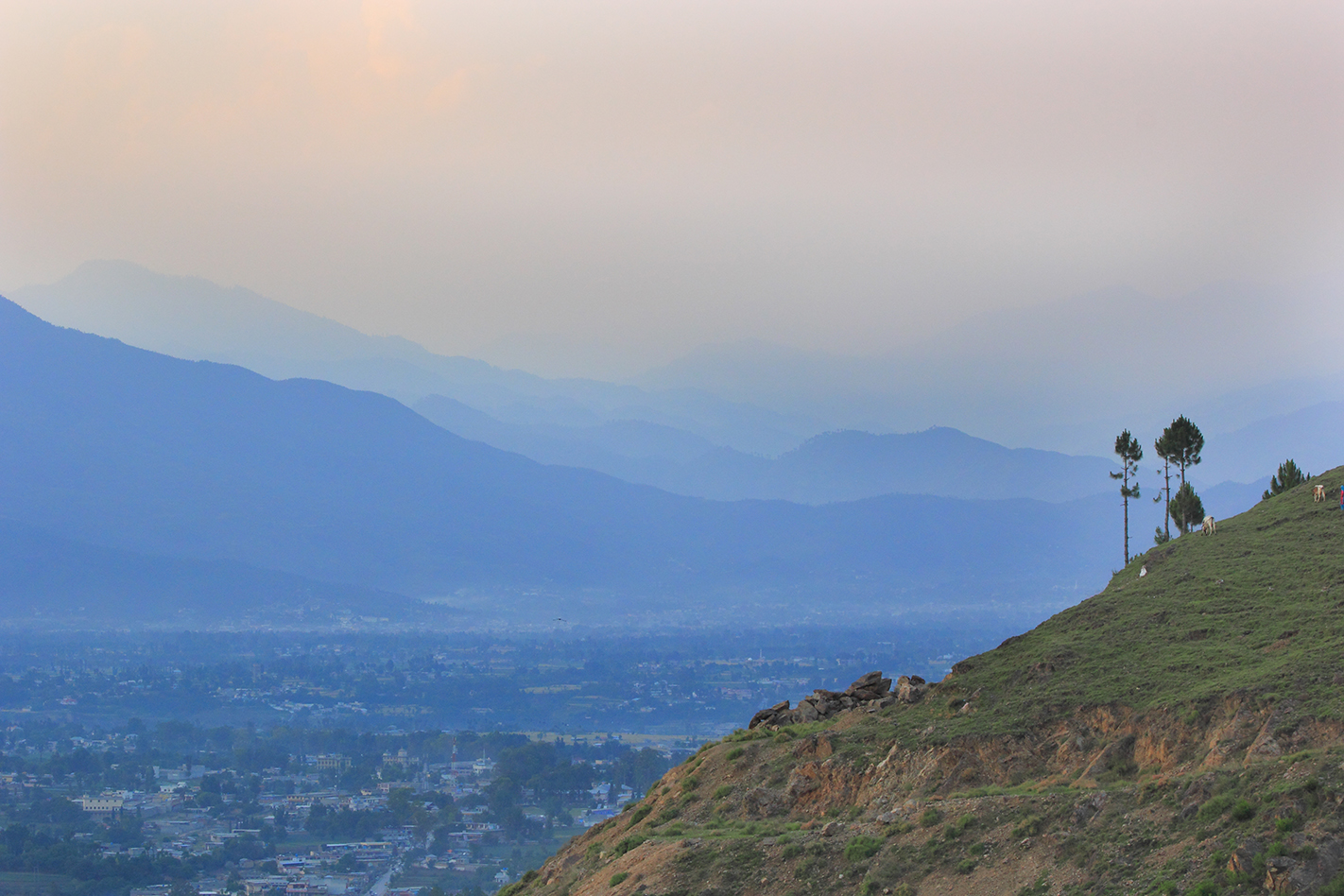
English: Manshera is the gateway to the Himalayan, Karokaram and Hindukash mountain ranges. It's the place from where you head towards these regions, and it is known as the last established and urban city before you head into the wilderness of northern Pakistan.
|
| ⧼wm-license-information-date⧽ | 2015, {{time}} – invalid date format 31 (help) |
| ⧼wm-license-information-source⧽ | ⧼Wm-license-own-work⧽ |
| ⧼wm-license-information-author⧽ | Rizwan Bhiriya (RB) |
34°20′02″N 73°12′04″E / 34.3339°N 73.2011°E
ترخيص
|
تاريخ الملف
اضغط على زمن/تاريخ لرؤية الملف كما بدا في هذا الزمن.
| زمن/تاريخ | صورة مصغرة | الأبعاد | مستخدم | تعليق | |
|---|---|---|---|---|---|
| حالي | ★ مراجعة معتمدة 17:52، 18 أكتوبر 2023 | | 1٬422 × 948 (916 كيلوبايت) | Pastakhov (نقاش | مساهمات) | Upload https://upload.wikimedia.org/wikipedia/commons/3/3c/Road_to_KKH.jpg |
لا يمكنك استبدال هذا الملف.
وصلات
لا يوجد صفحات تصل لهذه الصورة.