ملف:River Spean - geograph.org.uk - 262742.jpg
لا توجد دقة أعلى متوفرة.
River_Spean_-_geograph.org.uk_-_262742.jpg (640 × 480 بكسل حجم الملف: 54 كيلوبايت، نوع MIME: image/jpeg)
وصف قصير
| ⧼wm-license-information-description⧽ |
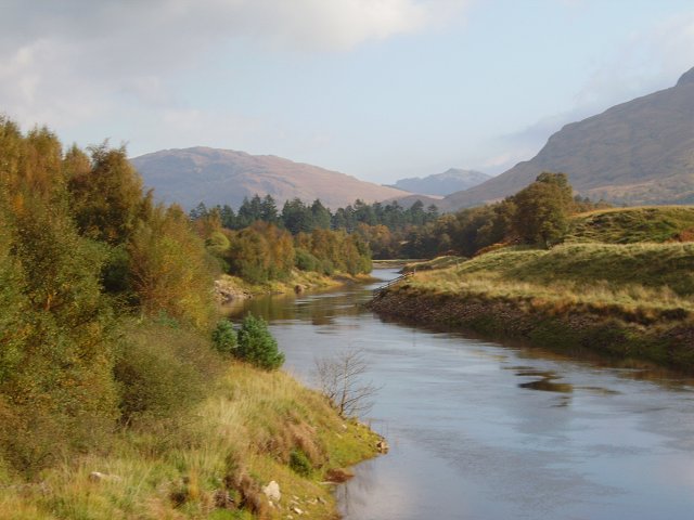
English: River Spean This section links the natural Loch Laggan with the Moy reservoir, behind the Laggan Dam. When the dam is full this river does not flow, and becomes part of one greater loch. View into Ardverikie Forest.
|
| ⧼wm-license-information-date⧽ | 2006 |
| ⧼wm-license-information-source⧽ | From geograph.org.uk |
| ⧼wm-license-information-author⧽ | Richard Webb |
| ⧼wm-license-cc-attribution⧽ (قالب:I18n/Credit line) |
Richard Webb / River Spean / |
ترخيص
تاريخ الملف
اضغط على زمن/تاريخ لرؤية الملف كما بدا في هذا الزمن.
| زمن/تاريخ | صورة مصغرة | الأبعاد | مستخدم | تعليق | |
|---|---|---|---|---|---|
| حالي | ★ مراجعة معتمدة 12:51، 3 نوفمبر 2023 | | 640 × 480 (54 كيلوبايت) | Pastakhov (نقاش | مساهمات) | Upload https://upload.wikimedia.org/wikipedia/commons/5/5f/River_Spean_-_geograph.org.uk_-_262742.jpg |
لا يمكنك استبدال هذا الملف.
وصلات
لا يوجد صفحات تصل لهذه الصورة.