ملف:River Ryburn - geograph.org.uk - 1040864.jpg
لا توجد دقة أعلى متوفرة.
River_Ryburn_-_geograph.org.uk_-_1040864.jpg (640 × 480 بكسل حجم الملف: 197 كيلوبايت، نوع MIME: image/jpeg)
وصف قصير
| ⧼wm-license-information-description⧽ |
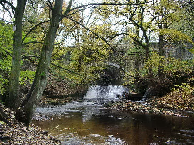
English: River Ryburn With Slitheroe Bridge hidden in the trees, this bridge carries the A672 over the river.
|
| ⧼wm-license-information-date⧽ | 2008 |
| ⧼wm-license-information-source⧽ | From geograph.org.uk |
| ⧼wm-license-information-author⧽ | Alexander P Kapp |
| ⧼wm-license-cc-attribution⧽ (قالب:I18n/Credit line) |
Alexander P Kapp / River Ryburn / |
53°39′57″N 1°56′51″W / 53.66580°N 1.9475°W قالب:Object location
_heading:247)
ترخيص
تاريخ الملف
اضغط على زمن/تاريخ لرؤية الملف كما بدا في هذا الزمن.
| زمن/تاريخ | صورة مصغرة | الأبعاد | مستخدم | تعليق | |
|---|---|---|---|---|---|
| حالي | ★ مراجعة معتمدة 18:40، 12 أكتوبر 2023 | | 640 × 480 (197 كيلوبايت) | Pastakhov (نقاش | مساهمات) | Upload https://upload.wikimedia.org/wikipedia/commons/0/02/River_Ryburn_-_geograph.org.uk_-_1040864.jpg |
لا يمكنك استبدال هذا الملف.
وصلات
لا يوجد صفحات تصل لهذه الصورة.