ملف:Rautas River between Käyrávuopio and Hansisaari.jpg

حجم هذه المعاينة: 800 × 600 بكسل. البعد الآخر: 2٬592 × 1٬944 بكسل.
الملف الأصلي (2٬592 × 1٬944 بكسل حجم الملف: 2٫62 ميجابايت، نوع MIME: image/jpeg)
وصف قصير
| ⧼wm-license-information-description⧽ |
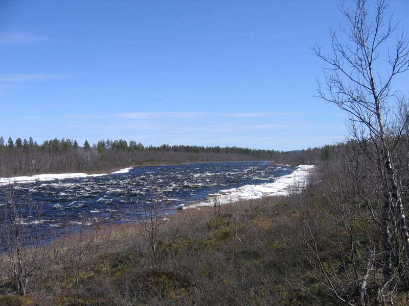
English: The Rautas River. The picture was taken north of Báhpagobba. From Karhuniemi, just west of Kiruna, a footpath leads north via Báhpagobba and Kurravaaranjänkkä and ends at the Rautas River between Käyrävuopio and Hansisaari (near Kurravaara). The picture was taken in late spring.
(Dutch) |
| ⧼wm-license-information-date⧽ | 2008 |
| ⧼wm-license-information-source⧽ | ⧼Wm-license-own-work⧽ |
| ⧼wm-license-information-author⧽ | Gerrit |
| ⧼wm-license-information-permission⧽ (⧼wm-license-information-permission-reusing-text⧽) |
See licensing tags |
67°56′1″N 20°11′11.4″E / 67.93361°N 20.186500°E
ترخيص
|

تاريخ الملف
اضغط على زمن/تاريخ لرؤية الملف كما بدا في هذا الزمن.
| زمن/تاريخ | صورة مصغرة | الأبعاد | مستخدم | تعليق | |
|---|---|---|---|---|---|
| حالي | ★ مراجعة معتمدة 06:27، 1 ديسمبر 2023 | | 2٬592 × 1٬944 (2٫62 ميجابايت) | Pastakhov (نقاش | مساهمات) | Upload https://upload.wikimedia.org/wikipedia/commons/d/d6/Rautas_River_between_K%C3%A4yr%C3%A1vuopio_and_Hansisaari.jpg |
لا يمكنك استبدال هذا الملف.
وصلات
لا يوجد صفحات تصل لهذه الصورة.