ملف:Province of Flemish Brabant (Belgium) location.svg

حجم معاينة PNG لذلك الملف ذي الامتداد SVG: 721 × 600 بكسل. البعد الآخر: 2٬462 × 2٬048 بكسل.
الملف الأصلي (ملف SVG، أبعاده 1٬136 × 945 بكسل، حجم الملف: 150 كيلوبايت)
وصف قصير
| ⧼wm-license-information-description⧽ |
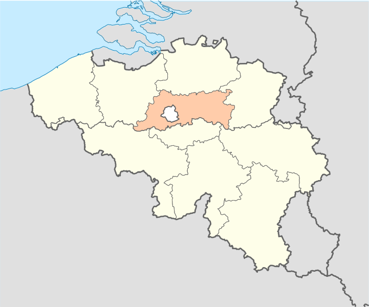
English: Location map of Province of Flemish Brabant, Belgium
Equirectangular projection, N/S stretching 150 %. Geographic limits of the map: * N: 51.8° N * S: 49.2° N * W: 2.2° E * E: 6.9° E Français : Localisation de la province du Brabant flamand, Belgique
Projection equirectangulaire, N/S etirement 150 %. Limites géographiques de la cartes: * N: 51.8° N * S: 49.2° N * W: 2.2° E * E: 6.9° E |
| ⧼wm-license-information-date⧽ | |
| ⧼wm-license-information-source⧽ | ⧼Wm-license-own-work⧽ |
| ⧼wm-license-information-author⧽ | Vascer |
| ⧼wm-license-information-other-versions⧽ |
ترخيص
|

تاريخ الملف
اضغط على زمن/تاريخ لرؤية الملف كما بدا في هذا الزمن.
| زمن/تاريخ | صورة مصغرة | الأبعاد | مستخدم | تعليق | |
|---|---|---|---|---|---|
| حالي | ★ مراجعة معتمدة 17:59، 7 أكتوبر 2023 | | 1٬136 × 945 (150 كيلوبايت) | Pastakhov (نقاش | مساهمات) | Upload https://upload.wikimedia.org/wikipedia/commons/3/33/Province_of_Flemish_Brabant_%28Belgium%29_location.svg |
لا يمكنك استبدال هذا الملف.
وصلات
لا يوجد صفحات تصل لهذه الصورة.
_location.svg&oldid=3020893)