ملف:Princes Islands.png

حجم هذه المعاينة: 741 × 600 بكسل. البعد الآخر: 777 × 629 بكسل.
الملف الأصلي (777 × 629 بكسل حجم الملف: 1٫01 ميجابايت، نوع MIME: image/png)
وصف قصير
| ⧼wm-license-information-description⧽ | |
| ⧼wm-license-information-date⧽ | |
| ⧼wm-license-information-source⧽ | ⧼Wm-license-own-work⧽ |
| ⧼wm-license-information-author⧽ | Duja |
Source
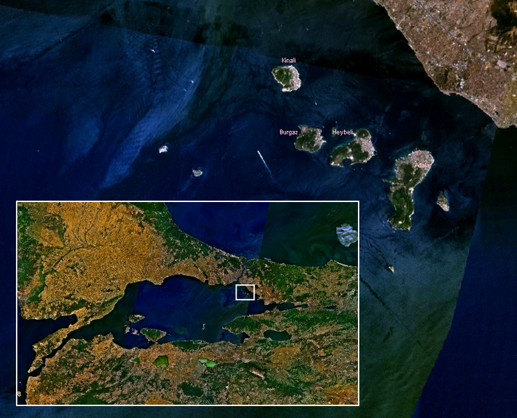
Own work, based on public-domain en:Landsat imagery using en:NASA WorldWind.
Author
ترخيص
|

تاريخ الملف
اضغط على زمن/تاريخ لرؤية الملف كما بدا في هذا الزمن.
| زمن/تاريخ | صورة مصغرة | الأبعاد | مستخدم | تعليق | |
|---|---|---|---|---|---|
| حالي | ★ مراجعة معتمدة 07:41، 13 نوفمبر 2023 | | 777 × 629 (1٫01 ميجابايت) | Pastakhov (نقاش | مساهمات) | Upload https://upload.wikimedia.org/wikipedia/commons/1/13/Princes_Islands.png |
لا يمكنك استبدال هذا الملف.
وصلات
لا يوجد صفحات تصل لهذه الصورة.