ملف:Prince Edward Island Kings County.svg

حجم معاينة PNG لذلك الملف ذي الامتداد SVG: 670 × 490 بكسل. البعد الآخر: 2٬560 × 1٬872 بكسل.
الملف الأصلي (ملف SVG، أبعاده 670 × 490 بكسل، حجم الملف: 274 كيلوبايت)
وصف قصير
| ⧼wm-license-information-description⧽ |
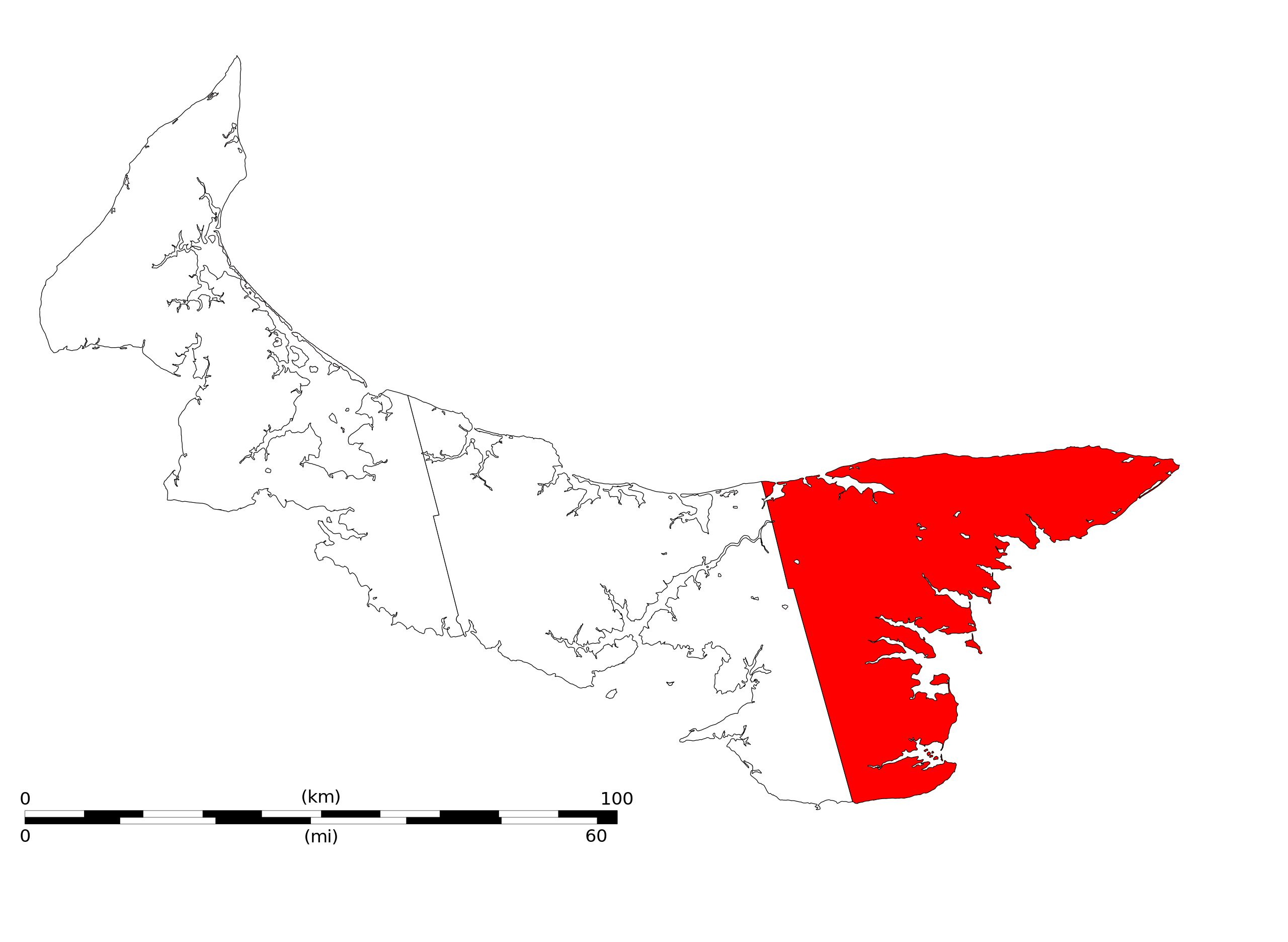
English: Blank map of the province of Prince Edward Island with county lines Kings County highlighted
Français : Fond de carte de la province de l'Île du Prince Édouard avec les limites de comté avec le comté de Kings mis en évidence
|
| ⧼wm-license-information-date⧽ | 2009 |
| ⧼wm-license-information-source⧽ | ⧼Wm-license-own-work⧽ |
| ⧼wm-license-information-author⧽ | Nakor |
Contour source: NASA Shuttle Radar Topography Mission (SRTM) Digital Elevation Model (ftp://e0srp01u.ecs.nasa.gov/srtm/version2/SWBD/[dead link])
Base map: File:Prince Edward Island blank map lowres.svg by Nakor
County line source: File:Prince Edward Island contour.png by Qyd
ترخيص
|

تاريخ الملف
اضغط على زمن/تاريخ لرؤية الملف كما بدا في هذا الزمن.
| زمن/تاريخ | صورة مصغرة | الأبعاد | مستخدم | تعليق | |
|---|---|---|---|---|---|
| حالي | ★ مراجعة معتمدة 19:52، 21 أكتوبر 2023 | | 670 × 490 (274 كيلوبايت) | Pastakhov (نقاش | مساهمات) | Upload https://upload.wikimedia.org/wikipedia/commons/c/ce/Prince_Edward_Island_Kings_County.svg |
لا يمكنك استبدال هذا الملف.
وصلات
لا يوجد صفحات تصل لهذه الصورة.