ملف:Post Office and shop fronts on Lower Street - geograph.org.uk - 904122.jpg
لا توجد دقة أعلى متوفرة.
Post_Office_and_shop_fronts_on_Lower_Street_-_geograph.org.uk_-_904122.jpg (640 × 480 بكسل حجم الملف: 196 كيلوبايت، نوع MIME: image/jpeg)
وصف قصير
| ⧼wm-license-information-description⧽ |
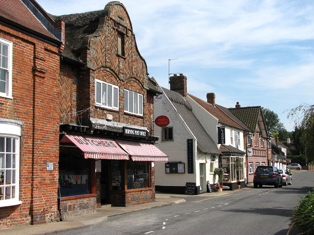
English: Post Office and shop fronts on Lower Street The village of Horning is situated on the northern bank of the River Bure, stretching for about a mile. Lower Street, its main thoroughfare, runs parallel to the river; it is lined with shops, restaurants, B&B establishments and attractive houses and cottages. The history of Horning dates back to 1020 when the manor was given by King Canute to the newly founded Abbey of St Benet.
|
| ⧼wm-license-information-date⧽ | 2008 |
| ⧼wm-license-information-source⧽ | From geograph.org.uk |
| ⧼wm-license-information-author⧽ | Evelyn Simak |
| ⧼wm-license-cc-attribution⧽ (قالب:I18n/Credit line) |
Evelyn Simak / Post Office and shop fronts on Lower Street / |
52°42′22″N 1°27′42″E / 52.70614°N 1.4617°E قالب:Object location
_heading:135)
ترخيص
تاريخ الملف
اضغط على زمن/تاريخ لرؤية الملف كما بدا في هذا الزمن.
| زمن/تاريخ | صورة مصغرة | الأبعاد | مستخدم | تعليق | |
|---|---|---|---|---|---|
| حالي | ★ مراجعة معتمدة 04:19، 28 نوفمبر 2023 | | 640 × 480 (196 كيلوبايت) | Pastakhov (نقاش | مساهمات) | Upload https://upload.wikimedia.org/wikipedia/commons/4/48/Post_Office_and_shop_fronts_on_Lower_Street_-_geograph.org.uk_-_904122.jpg |
لا يمكنك استبدال هذا الملف.
وصلات
لا يوجد صفحات تصل لهذه الصورة.