ملف:Pont Paepsem – Paepsembrug.04.jpg
حجم هذه المعاينة: 800 × 600 بكسل. البعدان الآخران: 2٬560 × 1٬920 بكسل | 4٬000 × 3٬000 بكسل.
الملف الأصلي (4٬000 × 3٬000 بكسل حجم الملف: 1٫43 ميجابايت، نوع MIME: image/jpeg)
وصف قصير
| ⧼wm-license-information-description⧽ |
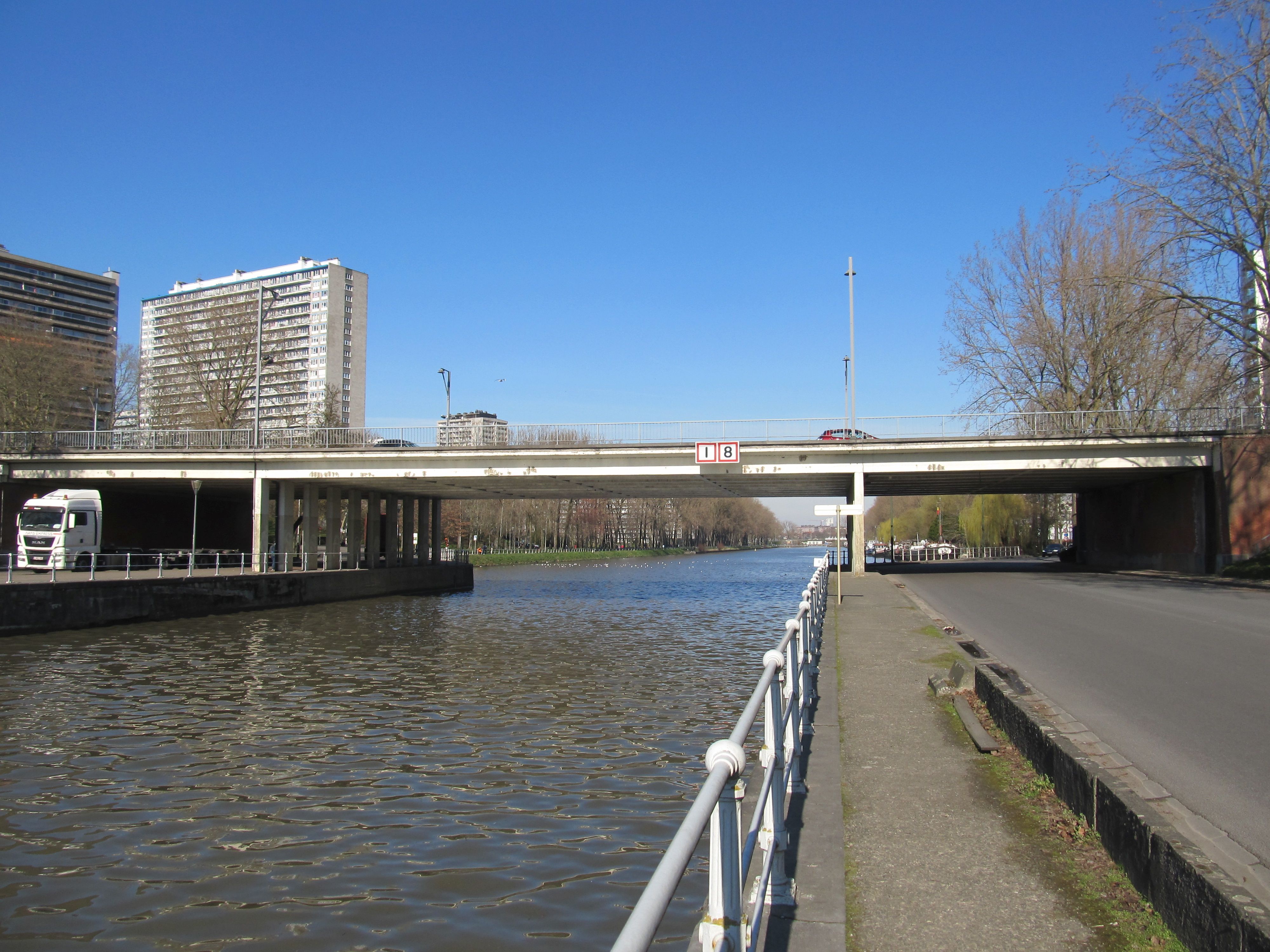
English: The Pont Paepsem / Paepsembrug (Paepsem Bridge) over the Brussels–Charleroi Canal in Anderlecht, one of the 19 municipalities of the Brussels-Capital Region.
|
| ⧼wm-license-information-date⧽ | 2021, {{time}} – invalid date format 43 (help) |
| ⧼wm-license-information-source⧽ | ⧼Wm-license-own-work⧽ |
| ⧼wm-license-information-author⧽ | Nenea hartia |
50°49′27″N 4°18′23″E / 50.824142°N 4.306514°E
ترخيص
|
تاريخ الملف
اضغط على زمن/تاريخ لرؤية الملف كما بدا في هذا الزمن.
| زمن/تاريخ | صورة مصغرة | الأبعاد | مستخدم | تعليق | |
|---|---|---|---|---|---|
| حالي | ★ مراجعة معتمدة 23:01، 25 يناير 2024 | | 4٬000 × 3٬000 (1٫43 ميجابايت) | Pastakhov (نقاش | مساهمات) | Upload https://upload.wikimedia.org/wikipedia/commons/6/6f/Pont_Paepsem_%E2%80%93_Paepsembrug.04.jpg |
لا يمكنك استبدال هذا الملف.
وصلات
لا يوجد صفحات تصل لهذه الصورة.