ملف:Plaine Limagne - 2.jpg

حجم هذه المعاينة: 800 × 600 بكسل. البعد الآخر: 1٬136 × 852 بكسل.
الملف الأصلي (1٬136 × 852 بكسل حجم الملف: 301 كيلوبايت، نوع MIME: image/jpeg)
وصف قصير
| ⧼wm-license-information-description⧽ |
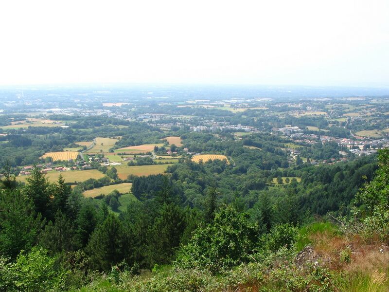
Français : Plaine de Limagne et faubourgs S-O de Thiers, Puy de Dôme, depuis site de la carrière de Borbes, au sud de la ville.
|
| ⧼wm-license-information-date⧽ | 2012, {{time}} – invalid date format 13 (help) |
| ⧼wm-license-information-source⧽ | ⧼Wm-license-own-work⧽ |
| ⧼wm-license-information-author⧽ | Nanzig |
45°50′28″N 3°33′26″E / 45.84111°N 3.5573°E
ترخيص
|
تاريخ الملف
اضغط على زمن/تاريخ لرؤية الملف كما بدا في هذا الزمن.
| زمن/تاريخ | صورة مصغرة | الأبعاد | مستخدم | تعليق | |
|---|---|---|---|---|---|
| حالي | ★ مراجعة معتمدة 00:15، 5 ديسمبر 2023 | | 1٬136 × 852 (301 كيلوبايت) | Pastakhov (نقاش | مساهمات) | Upload https://upload.wikimedia.org/wikipedia/commons/1/1e/Plaine_Limagne_-_2.jpg |
لا يمكنك استبدال هذا الملف.
وصلات
لا يوجد صفحات تصل لهذه الصورة.