ملف:Pelagie Islands map de.png

حجم هذه المعاينة: 507 × 599 بكسل. البعد الآخر: 600 × 709 بكسل.
الملف الأصلي (600 × 709 بكسل حجم الملف: 90 كيلوبايت، نوع MIME: image/png)
| ⧼wm-license-information-description⧽ |
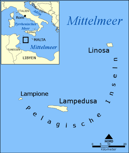
Blank version of Image:Pelagie Islands map.png. Created by NormanEinstien. |
| ⧼wm-license-information-date⧽ | 2010-04-06 09:16 (UTC) |
| ⧼wm-license-information-source⧽ | |
| ⧼wm-license-information-author⧽ |
|
| [This is a retouched picture, which means that it has been digitally altered from its original version. Modifications: added German translation of English labels to blank version. The original can be viewed here: Pelagie_Islands_map.png. Modifications made by Hämbörger.] Error: {{Lang}}: text has italic markup (help)
|
|
|
هذا الملفُّ مُرخَّص بموجب رخصة المشاع الإبداعي نسبة المُصنَّف إِلى مؤلفه - المشاركة بالمثل 3.0 العامة. |
قالب:Original upload log
This image is a derivative work of the following images:
- File:Pelagie_Islands_blank_map.png licensed with Cc-by-sa-3.0-migrated, GFDL
- 2006-12-23T07:53:20Z Hoshie 600x709 (64434 Bytes) Added Montenegro. under same license as original.
- 2006-04-03T15:56:25Z NormanEinstein 600x709 (75254 Bytes) Blank version of [[:Image:Pelagie Islands map.png]]. Created by NormanEinstien. {{GFDL-self}}
- File:Pelagie_Islands_map.png licensed with Cc-by-sa-3.0-migrated, GFDL
- 2006-12-23T07:56:14Z Hoshie 600x709 (116287 Bytes) added Montenegro. under same license as original.
- 2005-05-25T19:13:27Z NormanEinstein 600x709 (138352 Bytes) A map showing the location of the Pelagie Islands, including the islands Lampedusa, Linosa, and Lampione, in the Mediterranean Sea. Created by NormanEinstein, May 25, 2005. {{GFDL-self}} [[Category:Maps of Italy]]
تاريخ الملف
اضغط على زمن/تاريخ لرؤية الملف كما بدا في هذا الزمن.
| زمن/تاريخ | صورة مصغرة | الأبعاد | مستخدم | تعليق | |
|---|---|---|---|---|---|
| حالي | ★ مراجعة معتمدة 09:42، 9 أكتوبر 2023 | | 600 × 709 (90 كيلوبايت) | Pastakhov (نقاش | مساهمات) | Upload https://upload.wikimedia.org/wikipedia/commons/1/16/Pelagie_Islands_map_de.png |
لا يمكنك استبدال هذا الملف.
وصلات
لا يوجد صفحات تصل لهذه الصورة.