ملف:Peñas Blancas (20201206 114249).jpg
حجم هذه المعاينة: 800 × 450 بكسل. البعدان الآخران: 2٬560 × 1٬440 بكسل | 4٬032 × 2٬268 بكسل.
الملف الأصلي (4٬032 × 2٬268 بكسل حجم الملف: 3٫63 ميجابايت، نوع MIME: image/jpeg)
وصف قصير
| ⧼wm-license-information-description⧽ |
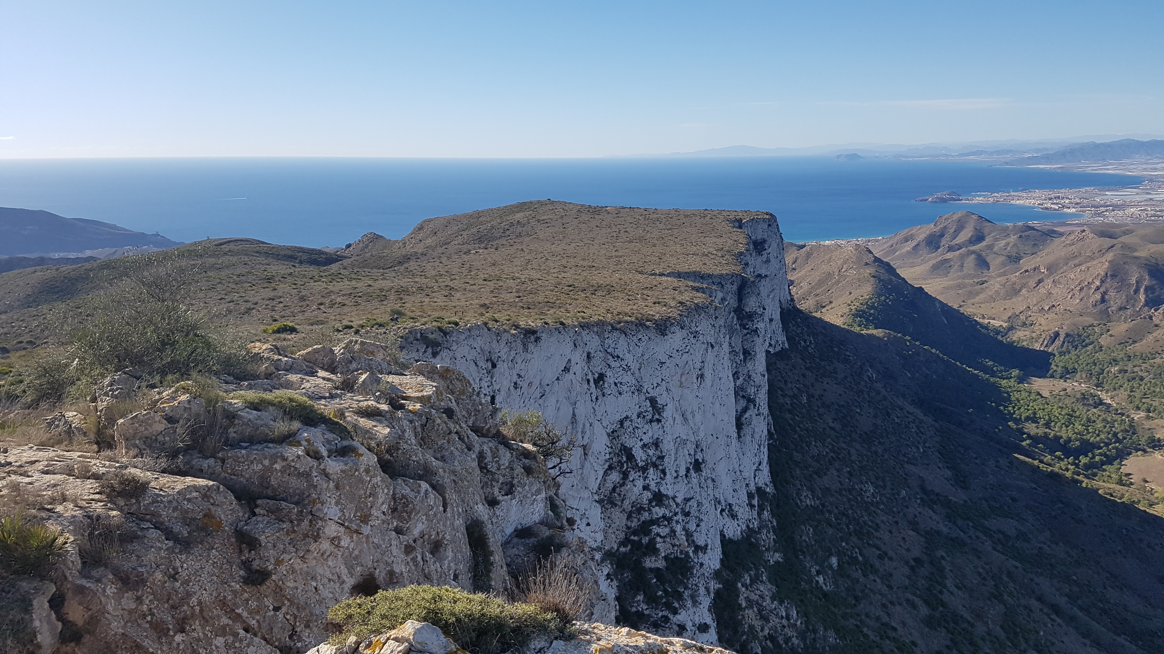
English: The Peñas Blancas massif, seen from the triangulation station located at its top. These mountains, located 625 meters above sea level, constitute the highest point in the municipality of Cartagena (Spain).
Español: El macizo de Peñas Blancas, visto desde el vértice geodésico situado en su cima. Estas montañas, situadas a 625 metros sobre el nivel del mar, constituyen el punto más alto del municipio de Cartagena (España).
|
| ⧼wm-license-information-date⧽ | قالب:Taken on |
| ⧼wm-license-information-source⧽ | ⧼Wm-license-own-work⧽ |
| ⧼wm-license-information-author⧽ | P4K1T0 |
37°36′13″N 1°09′16″W / 37.603698°N 1.15438°W
.jpg¶ms=37.603698_N_1.15438_W_)
ترخيص
|
تاريخ الملف
اضغط على زمن/تاريخ لرؤية الملف كما بدا في هذا الزمن.
| زمن/تاريخ | صورة مصغرة | الأبعاد | مستخدم | تعليق | |
|---|---|---|---|---|---|
| حالي | ★ مراجعة معتمدة 16:18، 17 نوفمبر 2023 | | 4٬032 × 2٬268 (3٫63 ميجابايت) | Pastakhov (نقاش | مساهمات) | Upload https://upload.wikimedia.org/wikipedia/commons/1/18/Pe%C3%B1as_Blancas_%2820201206_114249%29.jpg |
لا يمكنك استبدال هذا الملف.
وصلات
لا يوجد صفحات تصل لهذه الصورة.
.jpg&oldid=3546473)