ملف:Northern Virginia map.svg

حجم معاينة PNG لذلك الملف ذي الامتداد SVG: 409 × 599 بكسل. البعد الآخر: 1٬398 × 2٬048 بكسل.
الملف الأصلي (ملف SVG، أبعاده 641 × 939 بكسل، حجم الملف: 5٫26 ميجابايت)
وصف قصير
| ⧼wm-license-information-description⧽ |
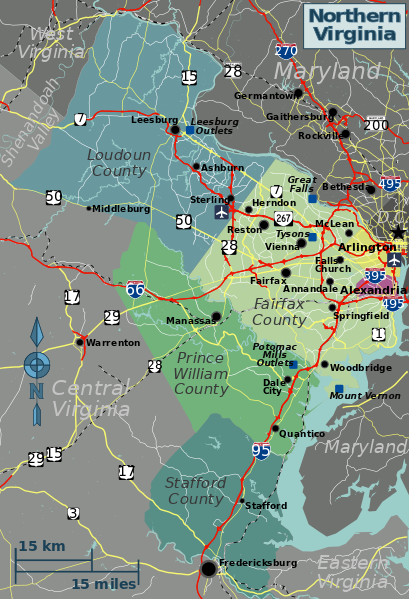
Northern Virginia map for use on Wikivoyage, SVG base file |
| ⧼wm-license-information-date⧽ | 2012 |
| ⧼wm-license-information-source⧽ | ⧼Wm-license-own-work⧽ based on OpenStreetMap |
| ⧼wm-license-information-author⧽ | Peter Fitzgerald |
| ⧼wm-license-information-other-versions⧽ |
PNG files in different languages: |
ترخيص
قالب:Original upload log
Wikivoyage has a travel guide for wts.
قالب:Original description page
- 2012-06-22 22:23 (WT-shared) Peterfitzgerald Archive copy at the Internet Archive 641×939 (5511301 bytes) == Summary == {{Imagecredit|credit=Peter Fitzgerald, OpenStreetMap [http://openstreetmap.org]|captureDate=22 June 2012|location=Virginia|sou (Import from wikitravel.org/shared)
تاريخ الملف
اضغط على زمن/تاريخ لرؤية الملف كما بدا في هذا الزمن.
| زمن/تاريخ | صورة مصغرة | الأبعاد | مستخدم | تعليق | |
|---|---|---|---|---|---|
| حالي | ★ مراجعة معتمدة 04:28، 18 أكتوبر 2023 | | 641 × 939 (5٫26 ميجابايت) | Pastakhov (نقاش | مساهمات) | Upload https://upload.wikimedia.org/wikipedia/commons/4/42/Northern_Virginia_map.svg |
لا يمكنك استبدال هذا الملف.
وصلات
لا يوجد صفحات تصل لهذه الصورة.