ملف:Nauzon Saint-Mathieu-Champniers D675 amont (1).JPG
حجم هذه المعاينة: 799 × 600 بكسل. البعدان الآخران: 2٬560 × 1٬922 بكسل | 3٬086 × 2٬317 بكسل.
الملف الأصلي (3٬086 × 2٬317 بكسل حجم الملف: 1٫7 ميجابايت، نوع MIME: image/jpeg)
وصف قصير
| ⧼wm-license-information-description⧽ |
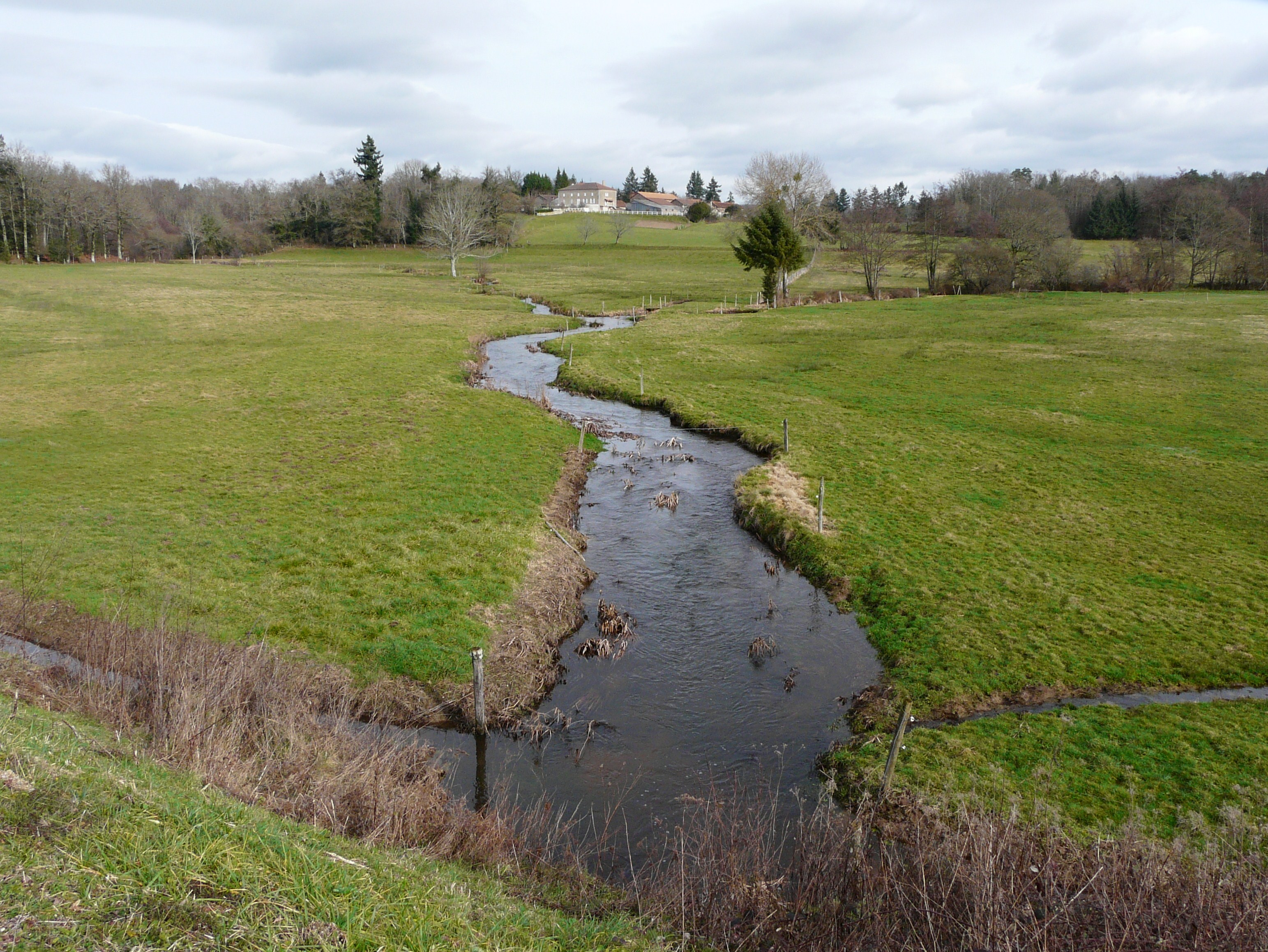
Français : Le Nauzon marque la limite entre Saint-Mathieu (Haute-Vienne, région Limousin) à gauche, et Champniers-et-Reilhac, (Dordogne, région Aquitaine). Vue prise vers l'amont au pont de la route départementale 675.
|
| ⧼wm-license-information-date⧽ | 2013, {{time}} – invalid date format 03 (help) |
| ⧼wm-license-information-source⧽ | ⧼Wm-license-own-work⧽ |
| ⧼wm-license-information-author⧽ | Père Igor |
ترخيص
|
تاريخ الملف
اضغط على زمن/تاريخ لرؤية الملف كما بدا في هذا الزمن.
| زمن/تاريخ | صورة مصغرة | الأبعاد | مستخدم | تعليق | |
|---|---|---|---|---|---|
| حالي | ★ مراجعة معتمدة 08:52، 13 نوفمبر 2023 | | 3٬086 × 2٬317 (1٫7 ميجابايت) | Pastakhov (نقاش | مساهمات) | Upload https://upload.wikimedia.org/wikipedia/commons/3/3d/Nauzon_Saint-Mathieu-Champniers_D675_amont_%281%29.JPG |
لا يمكنك استبدال هذا الملف.
وصلات
لا يوجد صفحات تصل لهذه الصورة.
.JPG&oldid=3504427)