ملف:NSG Lörmecketal fd (12).JPG
حجم هذه المعاينة: 800 × 600 بكسل. البعدان الآخران: 2٬560 × 1٬920 بكسل | 5٬184 × 3٬888 بكسل.
الملف الأصلي (5٬184 × 3٬888 بكسل حجم الملف: 6٫97 ميجابايت، نوع MIME: image/jpeg)
وصف قصير
| ⧼wm-license-information-description⧽ |
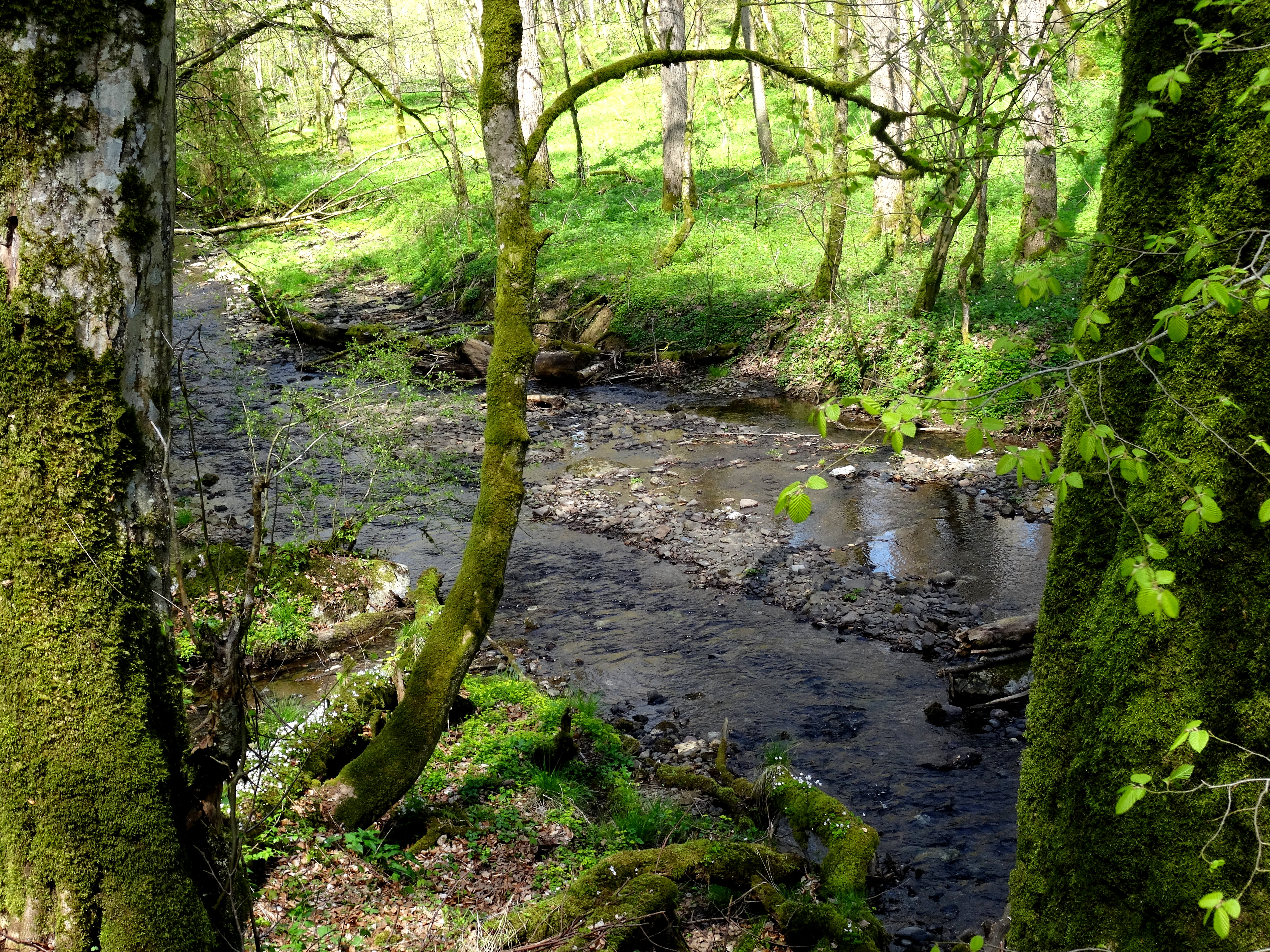
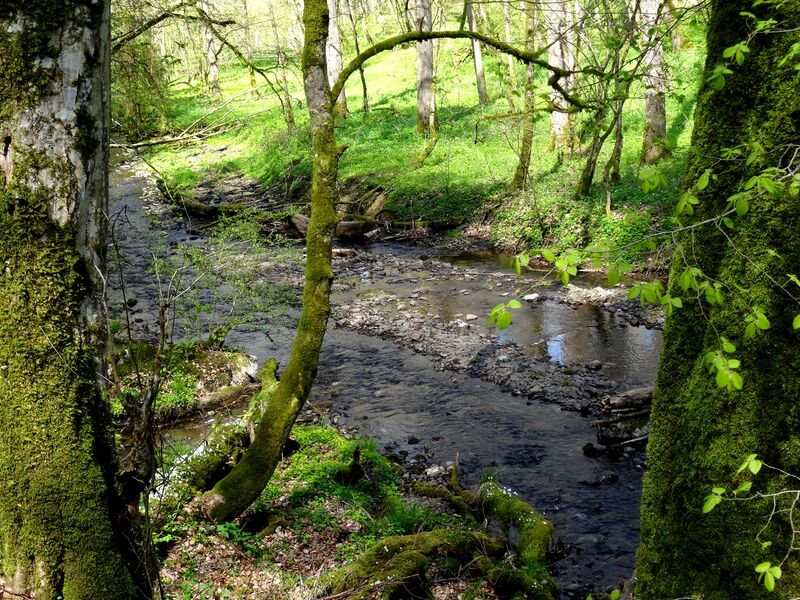
Deutsch: Die Lörmecke im Naturschutzgebiet „Lörmecketal“ (NSG SO-073), Gemeindegrenze zwischen Warstein und Rüthen; 266.0752
|
| ⧼wm-license-information-date⧽ | 2016, {{time}} – invalid date format 38 (help) |
| ⧼wm-license-information-source⧽ | ⧼Wm-license-own-work⧽ |
| ⧼wm-license-information-author⧽ | Friedhelm Dröge |
51°26′36″N 8°23′43″E / 51.443359722222°N 8.3953280555556°E
.JPG¶ms=51.443359722222_N_8.3953280555556_E_)
ترخيص
|
تاريخ الملف
اضغط على زمن/تاريخ لرؤية الملف كما بدا في هذا الزمن.
| زمن/تاريخ | صورة مصغرة | الأبعاد | مستخدم | تعليق | |
|---|---|---|---|---|---|
| حالي | ★ مراجعة معتمدة 02:17، 30 أكتوبر 2023 | | 5٬184 × 3٬888 (6٫97 ميجابايت) | Pastakhov (نقاش | مساهمات) | Upload https://upload.wikimedia.org/wikipedia/commons/3/3e/NSG_L%C3%B6rmecketal_fd_%2812%29.JPG |
لا يمكنك استبدال هذا الملف.
وصلات
لا يوجد صفحات تصل لهذه الصورة.
.JPG&oldid=3292551)