ملف:Mount Gambier Electoral District SA 2014.png
حجم هذه المعاينة: 500 × 600 بكسل. البعد الآخر: 2٬000 × 2٬400 بكسل.
الملف الأصلي (2٬000 × 2٬400 بكسل حجم الملف: 188 كيلوبايت، نوع MIME: image/png)
وصف قصير
| ⧼wm-license-information-description⧽ |
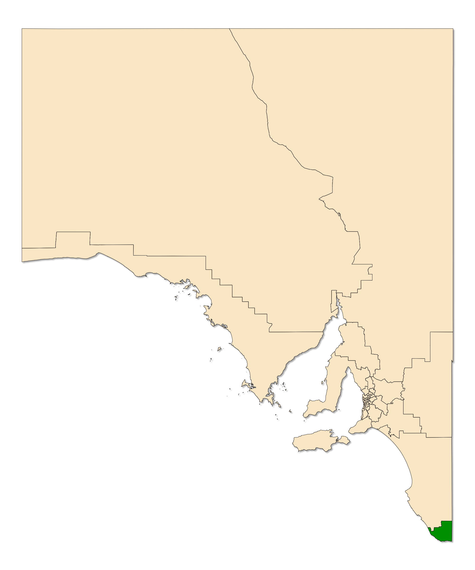
English: The South Australian electoral district of Mount Gambier, shown dark green in the state of South Australia. Map derived from data at South Australia Department of Planning, Transport and Infrastructure, licensed under a Creative Commons Attribution 3.0 Australia Licence.
|
| ⧼wm-license-information-date⧽ | 2014, 7:00 pm UTC+00:00 [refresh] |
| ⧼wm-license-information-source⧽ | ⧼Wm-license-own-work⧽ |
| ⧼wm-license-information-author⧽ | Canley |
ترخيص
|
تاريخ الملف
اضغط على زمن/تاريخ لرؤية الملف كما بدا في هذا الزمن.
| زمن/تاريخ | صورة مصغرة | الأبعاد | مستخدم | تعليق | |
|---|---|---|---|---|---|
| حالي | ★ مراجعة معتمدة 18:06، 29 أكتوبر 2023 | | 2٬000 × 2٬400 (188 كيلوبايت) | Pastakhov (نقاش | مساهمات) | Upload https://upload.wikimedia.org/wikipedia/commons/a/a1/Mount_Gambier_Electoral_District_SA_2014.png |
لا يمكنك استبدال هذا الملف.
وصلات
لا يوجد صفحات تصل لهذه الصورة.