ملف:Minor drainage divide south of Buckeye Arizona aerial.jpg
حجم هذه المعاينة: 800 × 450 بكسل. البعد الآخر: 2٬688 × 1٬512 بكسل.
الملف الأصلي (2٬688 × 1٬512 بكسل حجم الملف: 3٫07 ميجابايت، نوع MIME: image/jpeg)
وصف قصير
| ⧼wm-license-information-description⧽ |
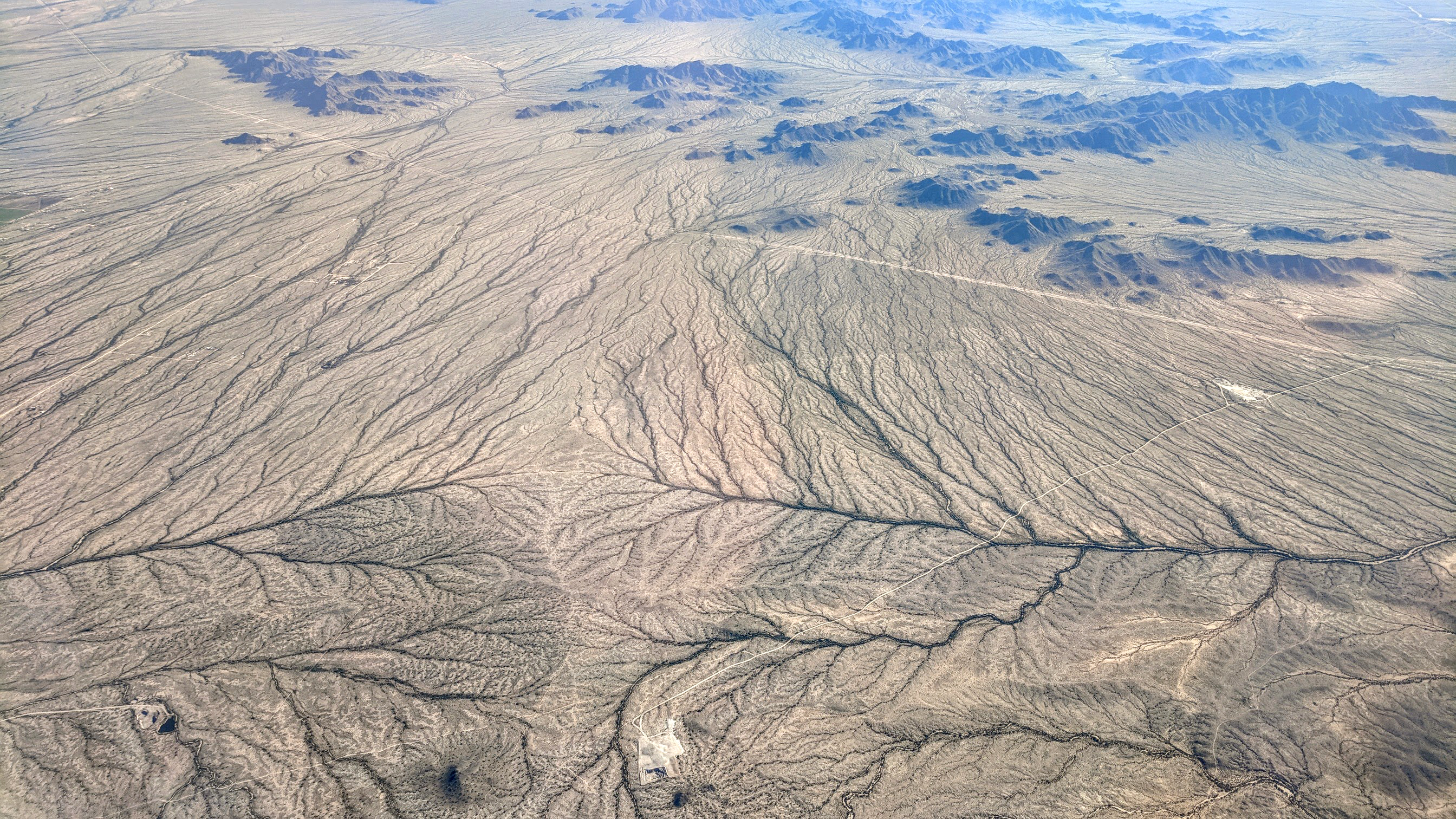
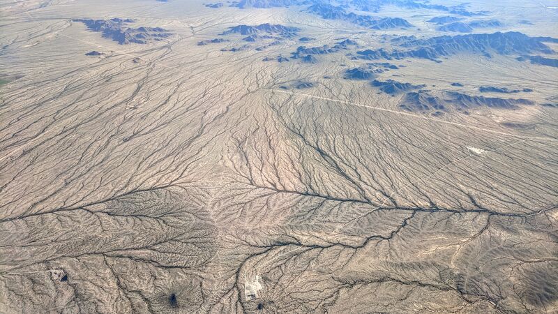
English: Aerial view looking south, of a minor drainage divide south of Buckeye, Arizona. Both the left and right branches flow to the Gila River.
|
| ⧼wm-license-information-date⧽ | 2019, {{time}} – invalid date format 59 (help) |
| ⧼wm-license-information-source⧽ | ⧼Wm-license-own-work⧽ |
| ⧼wm-license-information-author⧽ | Dicklyon |
33°18′11″N 112°34′40″W / 33.302939°N 112.577858°W
ترخيص
|
تاريخ الملف
اضغط على زمن/تاريخ لرؤية الملف كما بدا في هذا الزمن.
| زمن/تاريخ | صورة مصغرة | الأبعاد | مستخدم | تعليق | |
|---|---|---|---|---|---|
| حالي | ★ مراجعة معتمدة 11:20، 29 نوفمبر 2023 | | 2٬688 × 1٬512 (3٫07 ميجابايت) | Pastakhov (نقاش | مساهمات) | Upload https://upload.wikimedia.org/wikipedia/commons/e/ee/Minor_drainage_divide_south_of_Buckeye_Arizona_aerial.jpg |
لا يمكنك استبدال هذا الملف.
وصلات
لا يوجد صفحات تصل لهذه الصورة.