ملف:Middleton Road, London E8 - geograph.org.uk - 500209.jpg
لا توجد دقة أعلى متوفرة.
Middleton_Road,_London_E8_-_geograph.org.uk_-_500209.jpg (640 × 427 بكسل حجم الملف: 85 كيلوبايت، نوع MIME: image/jpeg)
وصف قصير
| ⧼wm-license-information-description⧽ |
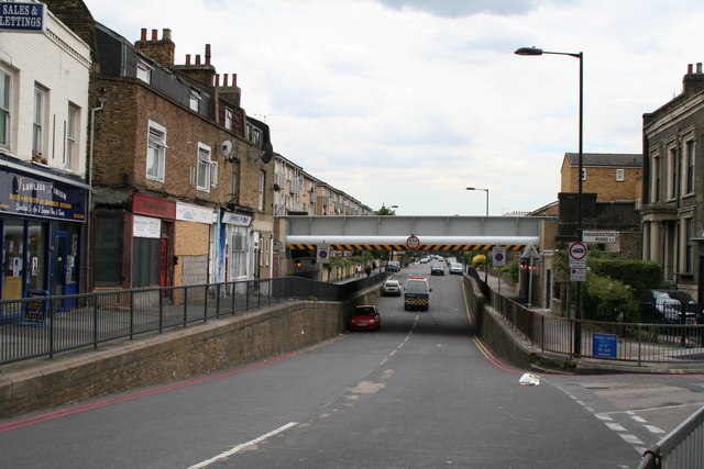
English: Middleton Road, London E8 Looking eastwards from its junction with Kingsland Road. When the North London Railway was built, the road had to be lowered to allow adequate headroom. As with other ex-NLR bridges, it has been refurbished for use by the new London Overground trains in 2010, after being out of use for well over 20 years.
|
| ⧼wm-license-information-date⧽ | 2007 |
| ⧼wm-license-information-source⧽ | From geograph.org.uk |
| ⧼wm-license-information-author⧽ | Dr Neil Clifton |
| ⧼wm-license-cc-attribution⧽ (قالب:I18n/Credit line) |
Dr Neil Clifton / Middleton Road, London E8 / |
51°32′29″N 0°04′34″W / 51.54150°N 0.0760°W قالب:Object location
_heading:90)
ترخيص
تاريخ الملف
اضغط على زمن/تاريخ لرؤية الملف كما بدا في هذا الزمن.
| زمن/تاريخ | صورة مصغرة | الأبعاد | مستخدم | تعليق | |
|---|---|---|---|---|---|
| حالي | ★ مراجعة معتمدة 22:27، 12 نوفمبر 2023 | | 640 × 427 (85 كيلوبايت) | Pastakhov (نقاش | مساهمات) | Upload https://upload.wikimedia.org/wikipedia/commons/4/40/Middleton_Road%2C_London_E8_-_geograph.org.uk_-_500209.jpg |
لا يمكنك استبدال هذا الملف.
وصلات
لا يوجد صفحات تصل لهذه الصورة.