ملف:Merrion Road, Dublin 4 - geograph.org.uk - 1740091.jpg
حجم هذه المعاينة: 800 × 600 بكسل. البعدان الآخران: 2٬560 × 1٬920 بكسل | 3٬648 × 2٬736 بكسل.
الملف الأصلي (3٬648 × 2٬736 بكسل حجم الملف: 1٫96 ميجابايت، نوع MIME: image/jpeg)
وصف قصير
| ⧼wm-license-information-description⧽ |
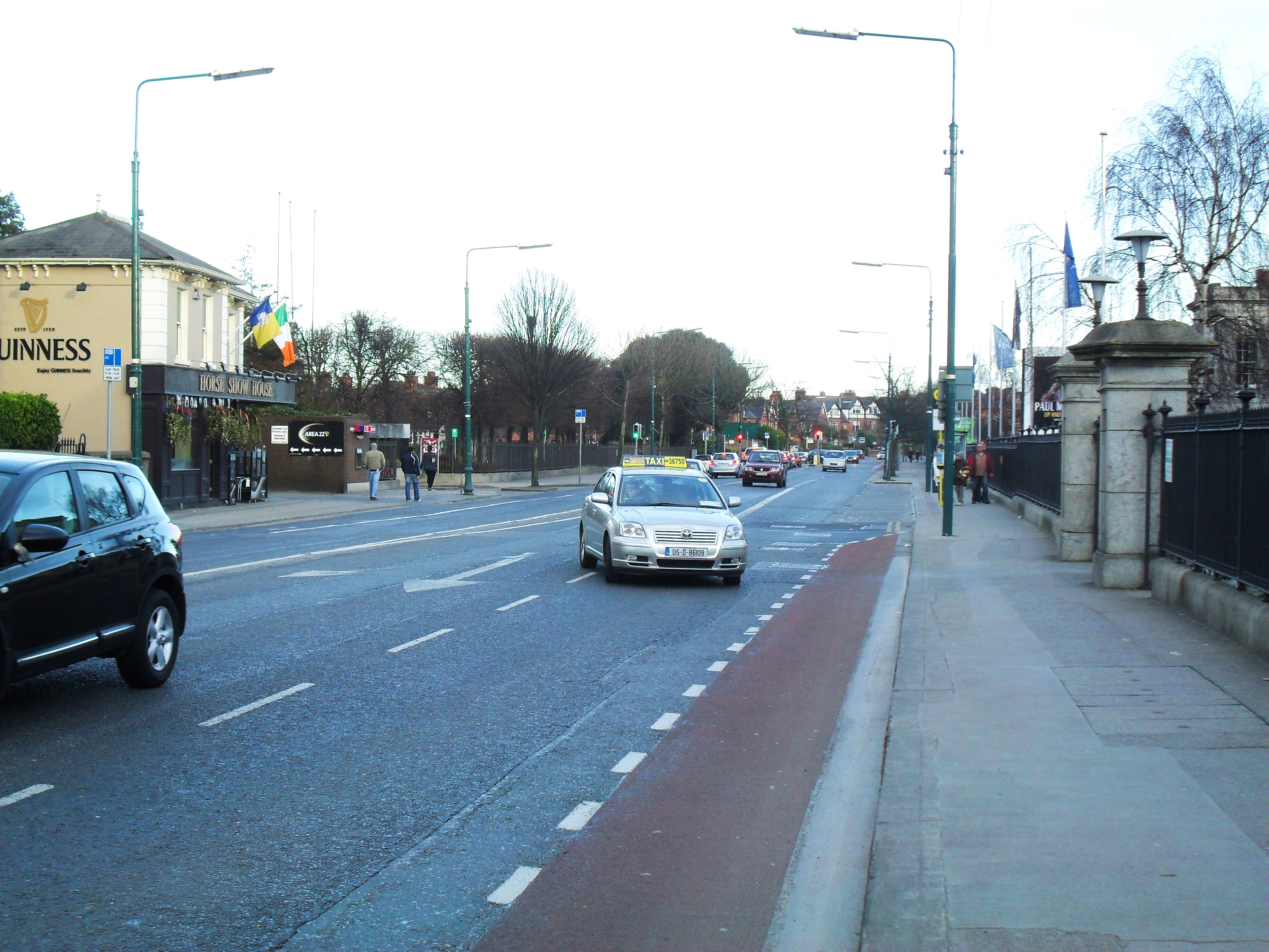
English: Merrion Road, Dublin 4 A busy thoroughfare through the wealthy Dublin suburb of Ballsbridge. To the left of the image is the Allied Irish Bank headquarters, to the right is the entrance to the R.D.S. (Royal Dublin Society) complex.
|
| ⧼wm-license-information-date⧽ | 2010 |
| ⧼wm-license-information-source⧽ | From geograph.org.uk |
| ⧼wm-license-information-author⧽ | Dean Molyneaux |
| ⧼wm-license-cc-attribution⧽ (قالب:I18n/Credit line) |
Dean Molyneaux / Merrion Road, Dublin 4 / |
53°19′44″N 6°13′47″W / 53.32880°N 6.2296°W قالب:Object location
_heading:90)
ترخيص
تاريخ الملف
اضغط على زمن/تاريخ لرؤية الملف كما بدا في هذا الزمن.
| زمن/تاريخ | صورة مصغرة | الأبعاد | مستخدم | تعليق | |
|---|---|---|---|---|---|
| حالي | ★ مراجعة معتمدة 16:33، 1 ديسمبر 2023 | | 3٬648 × 2٬736 (1٫96 ميجابايت) | Pastakhov (نقاش | مساهمات) | Upload https://upload.wikimedia.org/wikipedia/commons/8/8a/Merrion_Road%2C_Dublin_4_-_geograph.org.uk_-_1740091.jpg |
لا يمكنك استبدال هذا الملف.
وصلات
لا يوجد صفحات تصل لهذه الصورة.