ملف:Mauritius-Grand Port District.svg

حجم معاينة PNG لذلك الملف ذي الامتداد SVG: 521 × 600 بكسل. البعد الآخر: 1٬778 × 2٬048 بكسل.
الملف الأصلي (ملف SVG، أبعاده 541 × 623 بكسل، حجم الملف: 1٫28 ميجابايت)
وصف قصير
| ⧼wm-license-information-description⧽ |
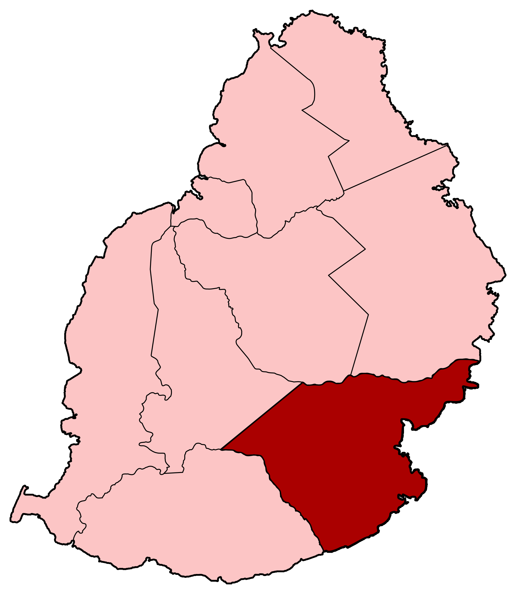
Deutsch: Kaart van Mauritius met de Grand Port District gemarkeerd English: Map of Mauritius with the Grand Port District highlighted Español: Mapa de Isla Mauricio con el Gran Puerto de Distrito destacó Français : Carte de l'île Maurice avec le district de Grand Port en surbrillance قالب:HiItaliano: Mappa di Mauritius con il Grand Port Distretto evidenziato (Portuguese)قالب:Rmyقالب:Taقالب:Te(تركيا)قالب:Ur
|
| ⧼wm-license-information-date⧽ | 2011 |
| ⧼wm-license-information-source⧽ | Original by User:Sting, Image:Mauritius Island map-fr.svg |
| ⧼wm-license-information-author⧽ | Kingroyos |
|
|
This image was created with Inkscape. |
ترخيص
|
تاريخ الملف
اضغط على زمن/تاريخ لرؤية الملف كما بدا في هذا الزمن.
| زمن/تاريخ | صورة مصغرة | الأبعاد | مستخدم | تعليق | |
|---|---|---|---|---|---|
| حالي | ★ مراجعة معتمدة 07:43، 16 يناير 2024 | | 541 × 623 (1٫28 ميجابايت) | Pastakhov (نقاش | مساهمات) | Upload https://upload.wikimedia.org/wikipedia/commons/b/b8/Mauritius-Grand_Port_District.svg |
لا يمكنك استبدال هذا الملف.
وصلات
لا يوجد صفحات تصل لهذه الصورة.