ملف:Maricopa County Incorporated and Planning areas Tempe highlighted.svg

حجم معاينة PNG لذلك الملف ذي الامتداد SVG: 694 × 599 بكسل. البعد الآخر: 2٬371 × 2٬048 بكسل.
الملف الأصلي (ملف SVG، أبعاده 940 × 812 بكسل، حجم الملف: 1٫05 ميجابايت)
وصف قصير
| ⧼wm-license-information-description⧽ |
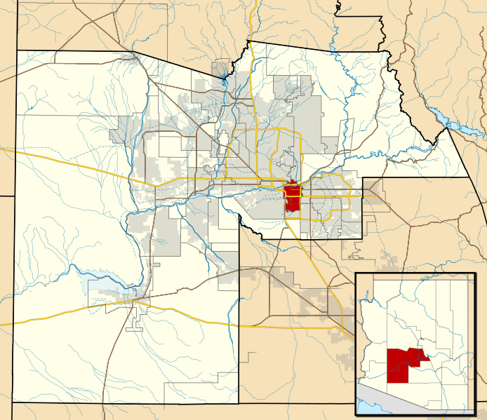
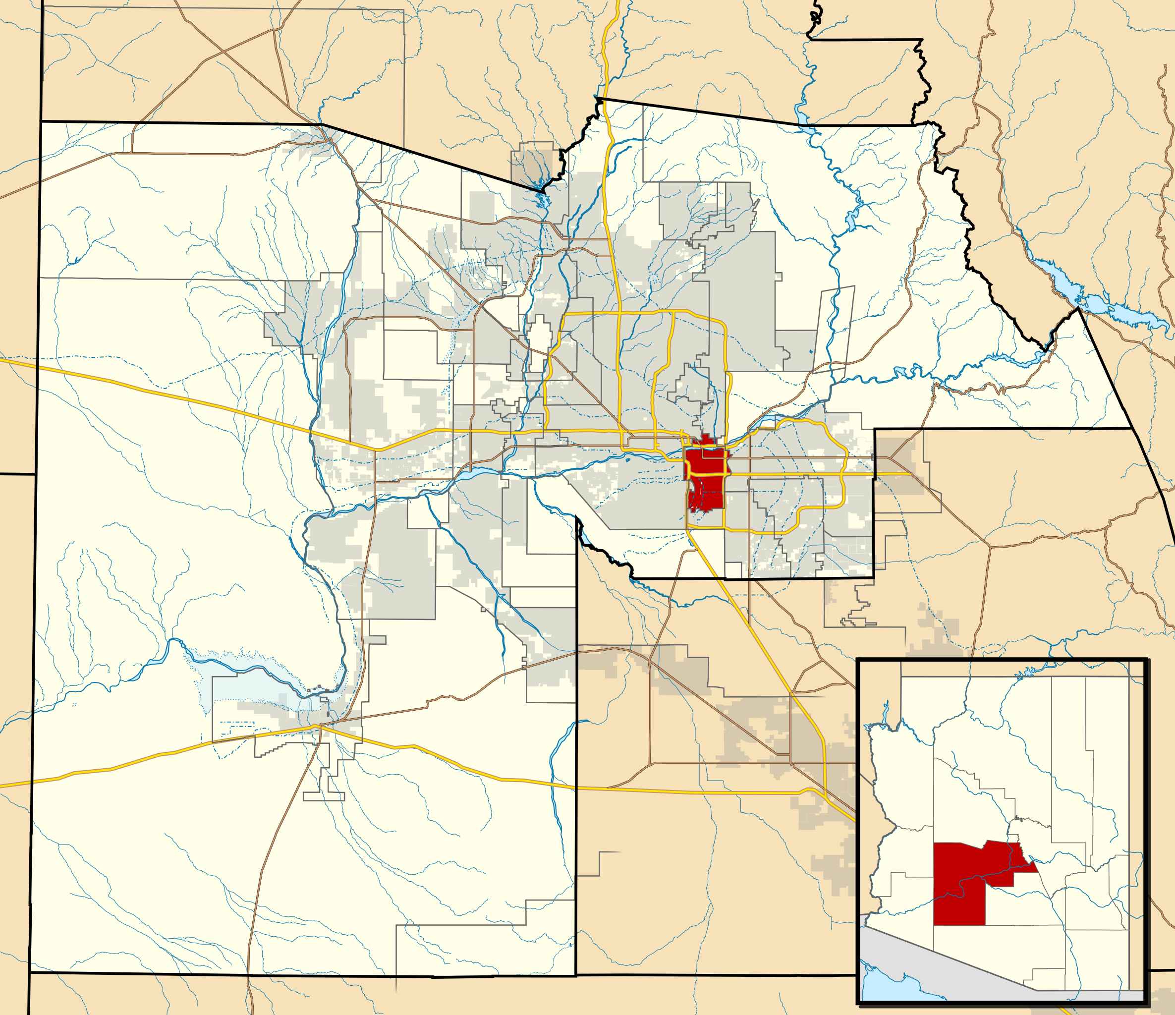
This map shows the incorporated areas and Indian reservation boundaries in Maricopa County, Arizona
|
| ⧼wm-license-information-date⧽ | 2011 |
| ⧼wm-license-information-source⧽ | My own work, based on government information |
| ⧼wm-license-information-author⧽ | Ixnayonthetimmay |
| ⧼wm-license-information-permission⧽ (⧼wm-license-information-permission-reusing-text⧽) |
Public Domain |
| ⧼wm-license-information-other-versions⧽ |
See Category:Maps of Maricopa County for other versions of this image. |
ترخيص
تاريخ الملف
اضغط على زمن/تاريخ لرؤية الملف كما بدا في هذا الزمن.
| زمن/تاريخ | صورة مصغرة | الأبعاد | مستخدم | تعليق | |
|---|---|---|---|---|---|
| حالي | ★ مراجعة معتمدة 20:16، 6 مارس 2024 | | 940 × 812 (1٫05 ميجابايت) | Pastakhov (نقاش | مساهمات) | Upload https://upload.wikimedia.org/wikipedia/commons/5/58/Maricopa_County_Incorporated_and_Planning_areas_Tempe_highlighted.svg |
لا يمكنك استبدال هذا الملف.
وصلات
لا يوجد صفحات تصل لهذه الصورة.