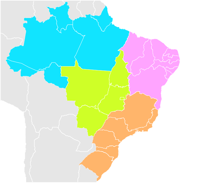
ملف:Mapa das 4 regiões do Brasil.svg

حجم معاينة PNG لذلك الملف ذي الامتداد SVG: 681 × 600 بكسل. البعد الآخر: 2٬325 × 2٬048 بكسل.
الملف الأصلي (ملف SVG، أبعاده 780 × 687 بكسل، حجم الملف: 402 كيلوبايت)
وصف قصير
| ⧼wm-license-information-description⧽ |
(Portuguese)
|
||
| ⧼wm-license-information-date⧽ | 2019-02-12 16:59 (UTC) | ||
| ⧼wm-license-information-source⧽ | قالب:Derived from | ||
| ⧼wm-license-information-author⧽ | |||
| ⧼wm-license-information-other-versions⧽ |
| [This is a retouched picture, which means that it has been digitally altered from its original version. Modifications: Recolorido. The original can be viewed here: Brazil Labelled Map.svg. Modifications made by Luan.] Error: {{Lang}}: text has italic markup (help)
|
ترخيص
قالب:Cc-by-sa-3.0-br قالب:TUBS/Credits
قالب:Original upload log
This image is a derivative work of the following images:
- File:Brazil Labelled Map.svg licensed with Cc-by-sa-2.5,2.0,1.0, Cc-by-sa-3.0-migrated, GFDL
- 2018-07-20T11:35:44Z Krauss 780x687 (409595 Bytes) no solution, labels lost in Wikipedia
- 2018-07-20T11:25:01Z Krauss 780x687 (414684 Bytes) Really labelled
- 2013-10-09T18:19:06Z Nyttend 780x687 (409595 Bytes) Changing colors: my colorblindness makes it almost impossible to see the boundary between North and Northeast
- 2011-10-16T15:29:42Z TZ master 780x687 (409595 Bytes) adding ISO 3166-2 codes and region names as classes
- 2008-05-22T01:38:14Z Giro720 780x687 (409100 Bytes) Minimizando arquivo, especificando id, uso de folho de estilo.
- 2007-12-01T16:59:52Z Felipe Menegaz 780x687 (653463 Bytes)
- 2007-06-11T17:51:18Z Felipe Menegaz 780x687 (653184 Bytes) {{User:João Felipe C.S/by}} {{Information |Description= {{en|Brazil Labelled Map.}} {{pt|Mapa Clicável do Brasil.}} ---- {{Inkscape}} |Source= Own work ([[:Image:Brazil State Map.svg]]) |Date= June 11, 2007 |Author= [[User
- 2007-06-11T17:42:27Z Felipe Menegaz 780x687 (514618 Bytes) {{User:João Felipe C.S/by}} {{Information |Description= {{en|Brazil Labelled Map.}} {{pt|Mapa Clicável do Brasil.}} ---- {{Inkscape}} |Source= Own work ([[:Image:Brazil State Map.svg]]) |Date= June 11, 2007 |Author= [[User
تاريخ الملف
اضغط على زمن/تاريخ لرؤية الملف كما بدا في هذا الزمن.
| زمن/تاريخ | صورة مصغرة | الأبعاد | مستخدم | تعليق | |
|---|---|---|---|---|---|
| حالي | ★ مراجعة معتمدة 12:09، 1 ديسمبر 2023 | | 780 × 687 (402 كيلوبايت) | Pastakhov (نقاش | مساهمات) | Upload https://upload.wikimedia.org/wikipedia/commons/4/49/Mapa_das_4_regi%C3%B5es_do_Brasil.svg |
لا يمكنك استبدال هذا الملف.
وصلات
لا يوجد صفحات تصل لهذه الصورة.