ملف:Map of Westmoreland County, Pennsylvania Highlighting North Huntingdon Township.PNG
لا توجد دقة أعلى متوفرة.
Map_of_Westmoreland_County,_Pennsylvania_Highlighting_North_Huntingdon_Township.PNG (682 × 600 بكسل حجم الملف: 87 كيلوبايت، نوع MIME: image/png)
وصف قصير
| ⧼wm-license-information-description⧽ |
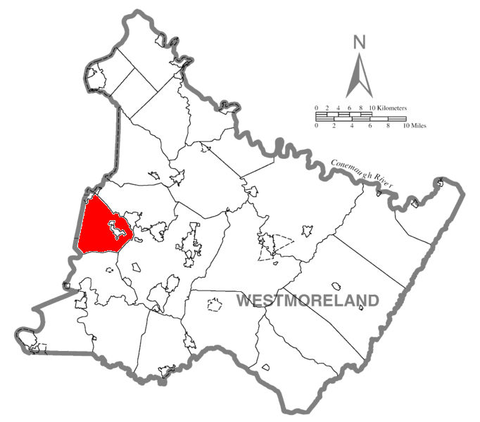
English: Map of Westmoreland County, Pennsylvania highlighting North Huntingdon Township
|
| ⧼wm-license-information-date⧽ | 2008 |
| ⧼wm-license-information-source⧽ | US Census website [1] |
| ⧼wm-license-information-author⧽ | US Census, as cropped /edited by Ram-Man, color added to highlight township by Dincher |
| ⧼wm-license-information-other-versions⧽ |
ترخيص
تاريخ الملف
اضغط على زمن/تاريخ لرؤية الملف كما بدا في هذا الزمن.
| زمن/تاريخ | صورة مصغرة | الأبعاد | مستخدم | تعليق | |
|---|---|---|---|---|---|
| حالي | ★ مراجعة معتمدة 02:17، 27 يناير 2024 | | 682 × 600 (87 كيلوبايت) | Pastakhov (نقاش | مساهمات) | Upload https://upload.wikimedia.org/wikipedia/commons/5/52/Map_of_Westmoreland_County%2C_Pennsylvania_Highlighting_North_Huntingdon_Township.PNG |
لا يمكنك استبدال هذا الملف.
وصلات
لا يوجد صفحات تصل لهذه الصورة.