ملف:Map of South Africa with Johannesburg highlighted (2016).svg

حجم معاينة PNG لذلك الملف ذي الامتداد SVG: 684 × 599 بكسل. البعد الآخر: 2٬337 × 2٬048 بكسل.
الملف الأصلي (ملف SVG، أبعاده 809 × 709 بكسل، حجم الملف: 672 كيلوبايت)
وصف قصير
| ⧼wm-license-information-description⧽ |
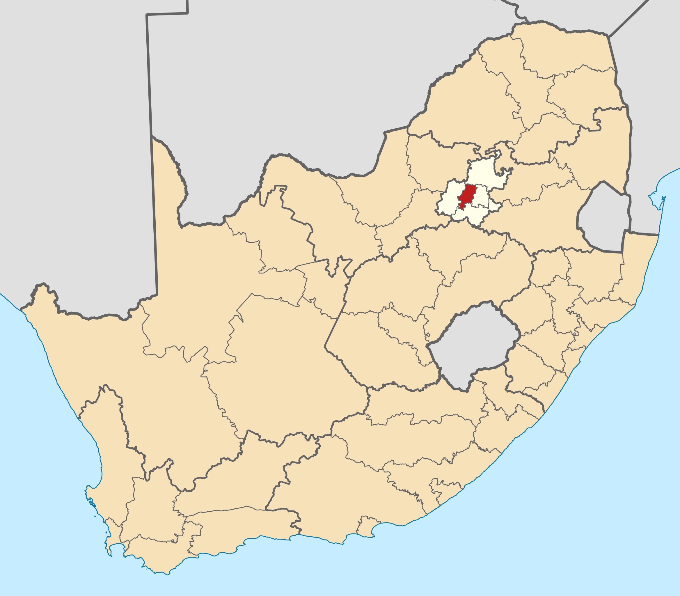
English: Map of district boundaries in South Africa, as they are after the municipal elections of 3 August 2016, with the City of Johannesburg Metropolitan Municipality highlighted in red within Gauteng in yellow.
|
| ⧼wm-license-information-date⧽ | 2016 |
| ⧼wm-license-information-source⧽ | ⧼Wm-license-own-work⧽ |
| ⧼wm-license-information-author⧽ | Htonl |
ترخيص
|

تاريخ الملف
اضغط على زمن/تاريخ لرؤية الملف كما بدا في هذا الزمن.
| زمن/تاريخ | صورة مصغرة | الأبعاد | مستخدم | تعليق | |
|---|---|---|---|---|---|
| حالي | ★ مراجعة معتمدة 20:03، 21 أبريل 2024 | | 809 × 709 (672 كيلوبايت) | Pastakhov (نقاش | مساهمات) | Upload https://upload.wikimedia.org/wikipedia/commons/6/69/Map_of_South_Africa_with_Johannesburg_highlighted_%282016%29.svg |
لا يمكنك استبدال هذا الملف.
وصلات
لا يوجد صفحات تصل لهذه الصورة.
.svg&oldid=3975126)