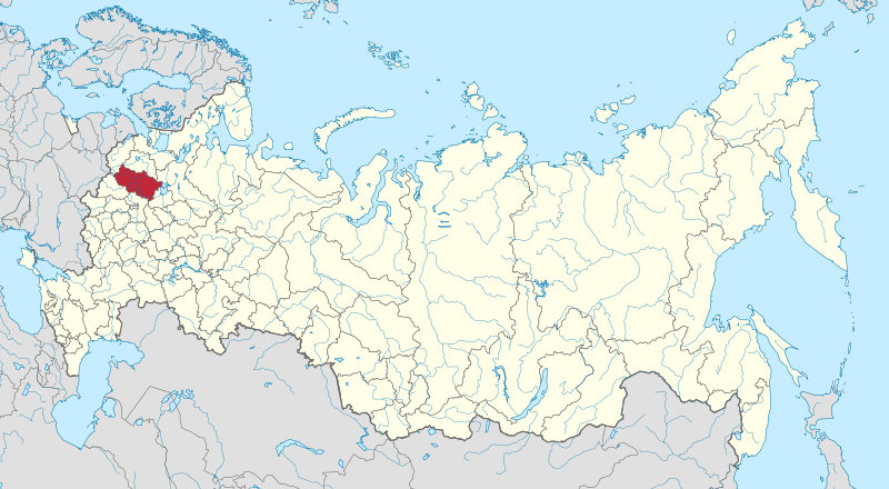
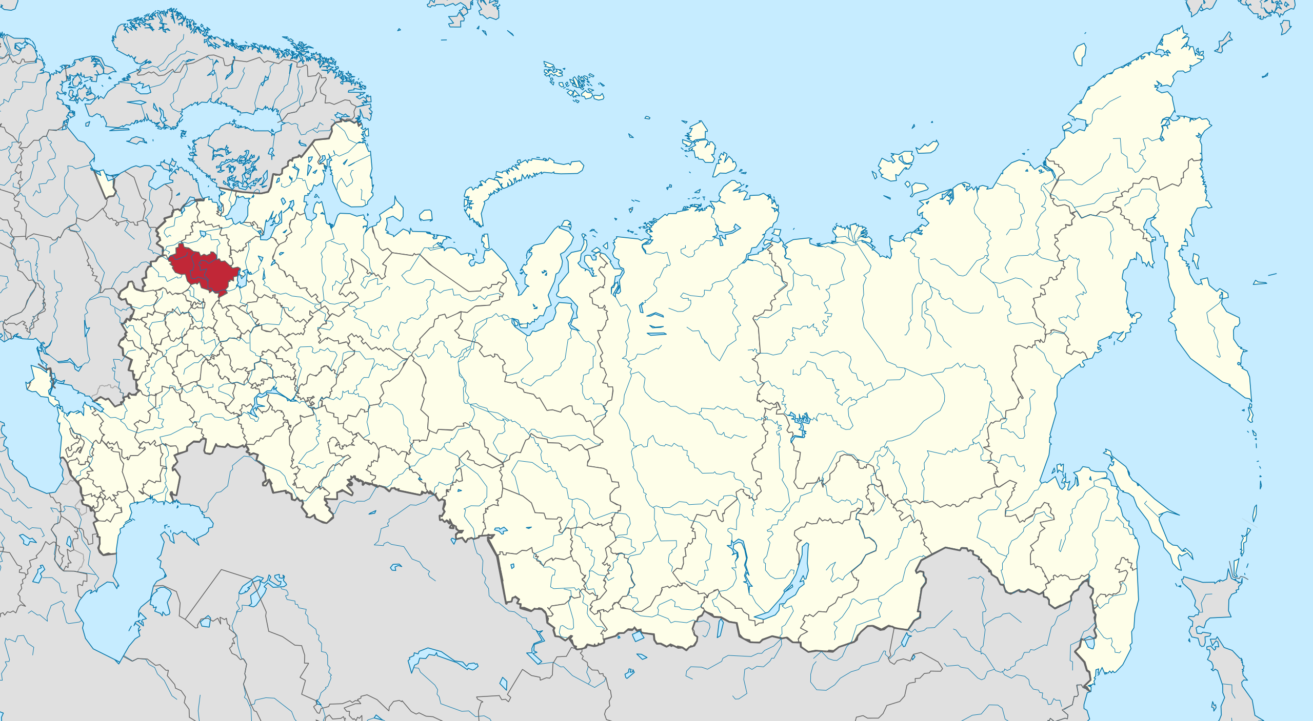
ملف:Map of Russia - Tver Oblast.svg

حجم معاينة PNG لذلك الملف ذي الامتداد SVG: 800 × 440 بكسل. البعد الآخر: 2٬560 × 1٬407 بكسل.
الملف الأصلي (ملف SVG، أبعاده 1٬541 × 847 بكسل، حجم الملف: 6٫56 ميجابايت)
| ⧼wm-license-information-description⧽ |
English: Autogenerated image to indicate Tver oblastj, on a map including occupied territories.
|
| ⧼wm-license-information-date⧽ | 2014, {{time}} – invalid date format 09 (help) |
| ⧼wm-license-information-source⧽ | Made from Image:Crimea in Russia.svg |
| ⧼wm-license-information-author⧽ | Nicolay Sidorov |
| ⧼wm-license-information-other-versions⧽ |
|

ترخيص
|
تاريخ الملف
اضغط على زمن/تاريخ لرؤية الملف كما بدا في هذا الزمن.
| زمن/تاريخ | صورة مصغرة | الأبعاد | مستخدم | تعليق | |
|---|---|---|---|---|---|
| حالي | ★ مراجعة معتمدة 05:42، 7 نوفمبر 2023 | | 1٬541 × 847 (6٫56 ميجابايت) | Pastakhov (نقاش | مساهمات) | Upload https://upload.wikimedia.org/wikipedia/commons/9/9d/Map_of_Russia_-_Tver_Oblast.svg |
لا يمكنك استبدال هذا الملف.
وصلات
لا يوجد صفحات تصل لهذه الصورة.