ملف:Map of New Brunswick highlighting Queens County.png
حجم هذه المعاينة: 609 × 599 بكسل. البعد الآخر: 1٬000 × 984 بكسل.
الملف الأصلي (1٬000 × 984 بكسل حجم الملف: 241 كيلوبايت، نوع MIME: image/png)
وصف قصير
| ⧼wm-license-information-description⧽ |
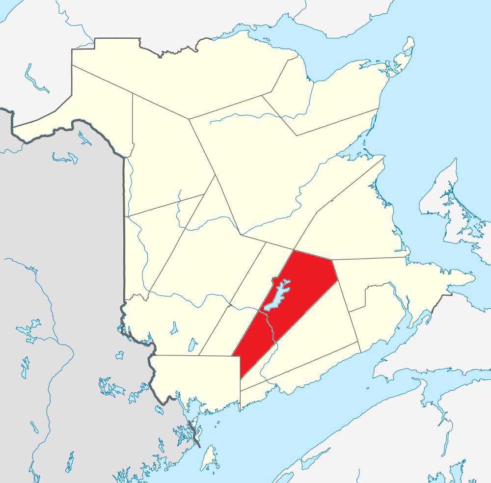
English: Map of New Brunswick highlighting Queens County
|
| ⧼wm-license-information-date⧽ | قالب:Original upload date |
| ⧼wm-license-information-source⧽ | قالب:Derived from |
| ⧼wm-license-information-author⧽ | NordNordWest |
ترخيص
|
قالب:Original upload log
This image is a derivative work of the following images:
- File:Canada_New_Brunswick_location_map.svg licensed with Cc-by-sa-3.0
- 2009-09-28T14:04:56Z NordNordWest 1411x1388 (511824 Bytes)
- 2009-08-25T17:55:19Z NordNordWest 1411x1388 (506982 Bytes) {{int:filedesc}} {{Information |Description= {{de|Positionskarte von [[:de:New Brunswick|New Brunswick]], [[:de:Kanada|Kanada]]}} Quadratische Plattkarte, N-S-Streckung 145 %. Geographische Begrenzung der Karte: * N: 48.3° N
قالب:Original description page
- 2010-01-29 17:39 Canadaolympic989 1000×984× (246410 bytes) Queens County, New Brunswick map
تاريخ الملف
اضغط على زمن/تاريخ لرؤية الملف كما بدا في هذا الزمن.
| زمن/تاريخ | صورة مصغرة | الأبعاد | مستخدم | تعليق | |
|---|---|---|---|---|---|
| حالي | ★ مراجعة معتمدة 00:20، 5 أكتوبر 2023 | | 1٬000 × 984 (241 كيلوبايت) | Pastakhov (نقاش | مساهمات) | Upload https://upload.wikimedia.org/wikipedia/commons/3/30/Map_of_New_Brunswick_highlighting_Queens_County.png |
لا يمكنك استبدال هذا الملف.
وصلات
لا يوجد صفحات تصل لهذه الصورة.