ملف:Map of Kentucky highlighting Spencer County.svg

حجم معاينة PNG لذلك الملف ذي الامتداد SVG: 800 × 345 بكسل. البعد الآخر: 2٬560 × 1٬103 بكسل.
الملف الأصلي (ملف SVG، أبعاده 6٬770 × 2٬916 بكسل، حجم الملف: 127 كيلوبايت)
وصف قصير
| ⧼wm-license-information-description⧽ |
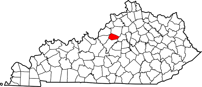
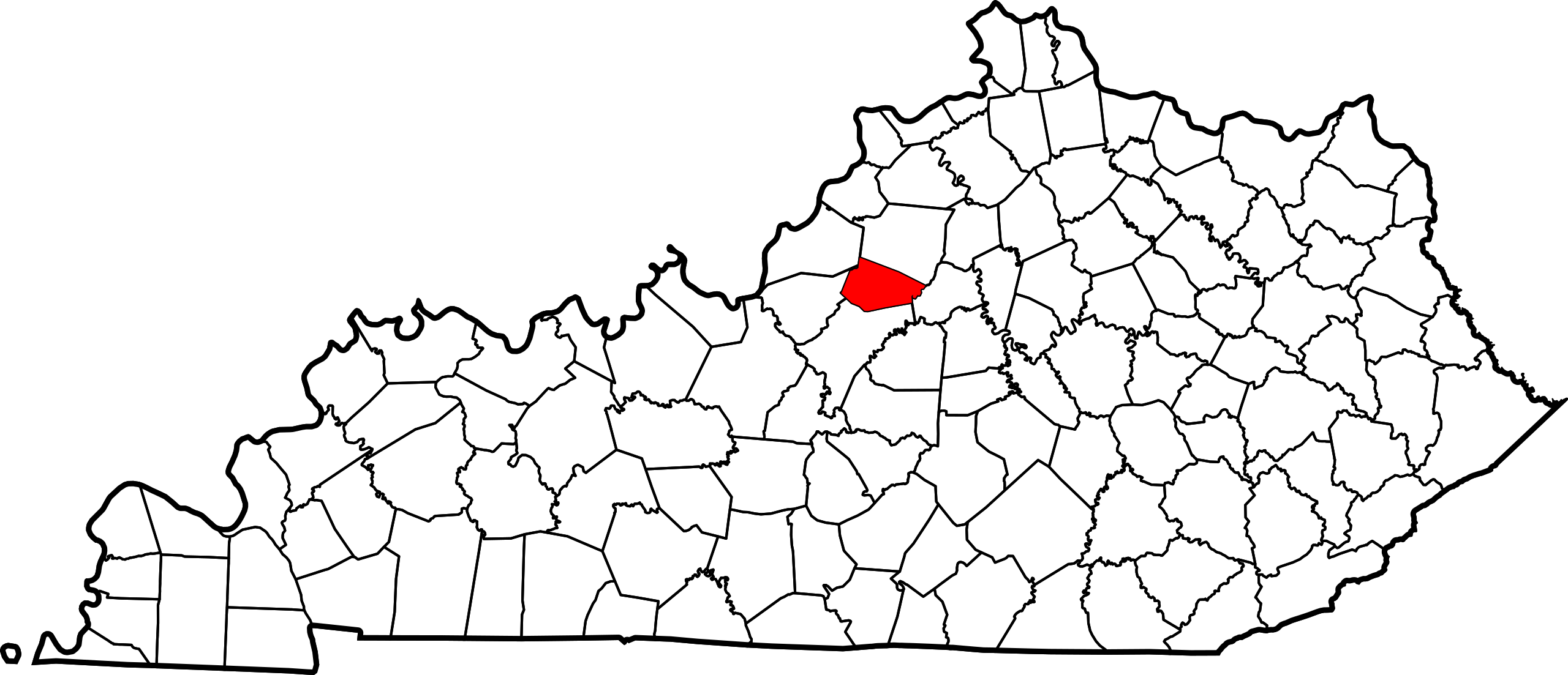
English: This is a locator map showing Spencer County in Kentucky. For more information, see Commons:United States county locator maps.
|
| ⧼wm-license-information-date⧽ | 2006 |
| ⧼wm-license-information-source⧽ | ⧼Wm-license-own-work⧽: English: The maps use data from nationalatlas.gov, specifically countyp020.tar.gz on the Raw Data Download page. The maps also use state outline data from statesp020.tar.gz. The Florida maps use hydrogm020.tar.gz to display Lake Okeechobee. |
| ⧼wm-license-information-author⧽ | David Benbennick |
ترخيص
تاريخ الملف
اضغط على زمن/تاريخ لرؤية الملف كما بدا في هذا الزمن.
| زمن/تاريخ | صورة مصغرة | الأبعاد | مستخدم | تعليق | |
|---|---|---|---|---|---|
| حالي | ★ مراجعة معتمدة 08:42، 11 أكتوبر 2023 | | 6٬770 × 2٬916 (127 كيلوبايت) | Pastakhov (نقاش | مساهمات) | Upload https://upload.wikimedia.org/wikipedia/commons/9/99/Map_of_Kentucky_highlighting_Spencer_County.svg |
لا يمكنك استبدال هذا الملف.
وصلات
لا يوجد صفحات تصل لهذه الصورة.