ملف:Map of Franklin County Ohio With Upper Arlington Labelled.png
حجم هذه المعاينة: 702 × 600 بكسل. البعد الآخر: 1٬174 × 1٬003 بكسل.
الملف الأصلي (1٬174 × 1٬003 بكسل حجم الملف: 191 كيلوبايت، نوع MIME: image/png)
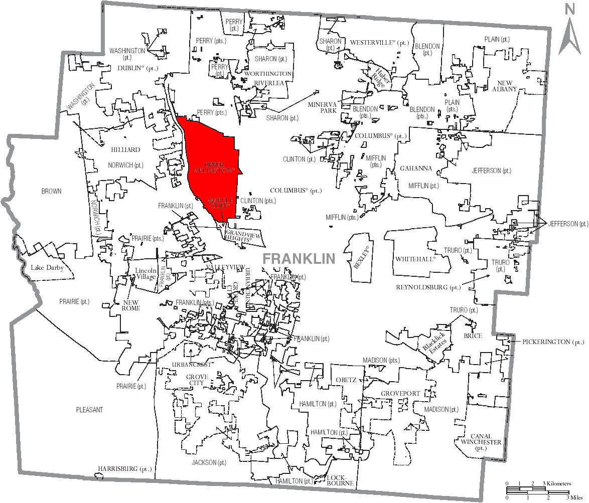
Map of Franklin County, Ohio with city of Upper Arlington marked. Modified from Image:Map of Franklin County Ohio With Municipal and Township Labels.PNG, a public domain U.S. census map modified by User:Ruhrfisch and released under the GFDL. User:Postdlf claims no independent copyright in his modification.
تاريخ الملف
اضغط على زمن/تاريخ لرؤية الملف كما بدا في هذا الزمن.
| زمن/تاريخ | صورة مصغرة | الأبعاد | مستخدم | تعليق | |
|---|---|---|---|---|---|
| حالي | ★ مراجعة معتمدة 09:17، 14 ديسمبر 2023 | | 1٬174 × 1٬003 (191 كيلوبايت) | Pastakhov (نقاش | مساهمات) | Upload https://upload.wikimedia.org/wikipedia/commons/e/e6/Map_of_Franklin_County_Ohio_With_Upper_Arlington_Labelled.png |
لا يمكنك استبدال هذا الملف.
وصلات
لا يوجد صفحات تصل لهذه الصورة.