ملف:Map of Clermont County Ohio Highlighting Miami Township.png
حجم هذه المعاينة: 381 × 599 بكسل. البعد الآخر: 471 × 741 بكسل.
الملف الأصلي (471 × 741 بكسل حجم الملف: 35 كيلوبايت، نوع MIME: image/png)
| ⧼wm-license-information-description⧽ |
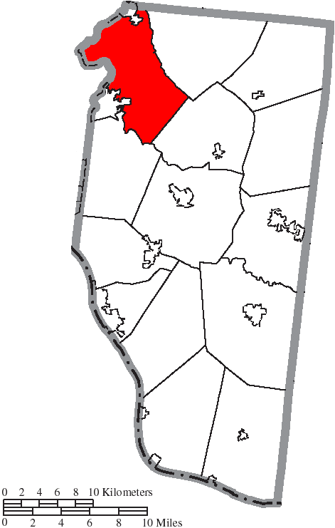
English: Map of the municipal and township boundaries of Clermont County, Ohio, United States, as of the 2000 census, with the location of Miami Township highlighted. Township borders are shown only in unincorporated areas in order to differentiate incorporated and unincorporated areas more clearly.
|
||
| ⧼wm-license-information-date⧽ | 2015 | ||
| ⧼wm-license-information-source⧽ | File:Map of Clermont County Ohio With Municipal and Township Labels.PNG | ||
| ⧼wm-license-information-author⧽ | Ruhrfisch and Nyttend | ||
| ⧼wm-license-information-permission⧽ (⧼wm-license-information-permission-reusing-text⧽) |
|
تاريخ الملف
اضغط على زمن/تاريخ لرؤية الملف كما بدا في هذا الزمن.
| زمن/تاريخ | صورة مصغرة | الأبعاد | مستخدم | تعليق | |
|---|---|---|---|---|---|
| حالي | ★ مراجعة معتمدة 15:34، 26 ديسمبر 2023 | | 471 × 741 (35 كيلوبايت) | Pastakhov (نقاش | مساهمات) | Upload https://upload.wikimedia.org/wikipedia/commons/a/af/Map_of_Clermont_County_Ohio_Highlighting_Miami_Township.png |
لا يمكنك استبدال هذا الملف.
وصلات
لا يوجد صفحات تصل لهذه الصورة.