ملف:Map of Allegheny County PA Highlighting Whitehall.png
لا توجد دقة أعلى متوفرة.
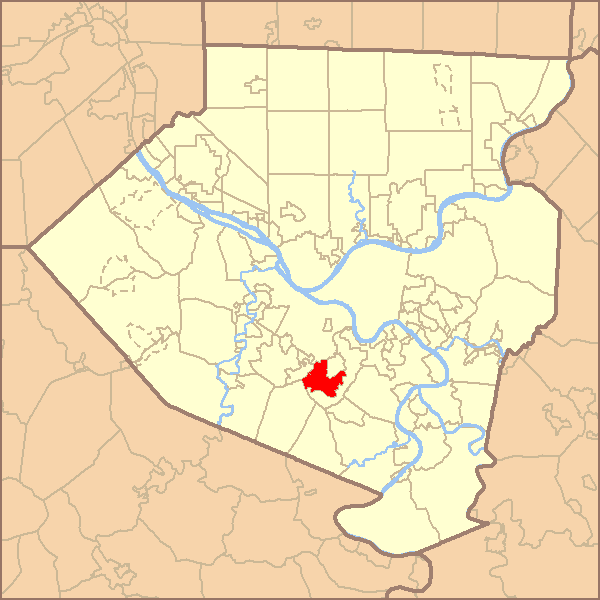
Map_of_Allegheny_County_PA_Highlighting_Whitehall.png (600 × 600 بكسل حجم الملف: 29 كيلوبايت، نوع MIME: image/png)
| ⧼wm-license-information-description⧽ |
Map highlighting the municipality within Allegheny County, Pennsylvania. |
| ⧼wm-license-information-date⧽ | 2007 |
| ⧼wm-license-information-source⧽ | Data Sources: County Boundaries - US Census Bureau Municipal Boundaries - US Census Bureau (county subdivisions) Bodies of Water - National Hydrography Dataset/USGS |
| ⧼wm-license-information-author⧽ | Skeetidot |
| ⧼wm-license-information-permission⧽ (⧼wm-license-information-permission-reusing-text⧽) |
Own work, attribution required (Multi-license with GFDL and Creative Commons CC-BY 2.5) |
قالب:Cc-by-sa-3.0-migrated |

تاريخ الملف
اضغط على زمن/تاريخ لرؤية الملف كما بدا في هذا الزمن.
| زمن/تاريخ | صورة مصغرة | الأبعاد | مستخدم | تعليق | |
|---|---|---|---|---|---|
| حالي | ★ مراجعة معتمدة 08:10، 9 ديسمبر 2023 | | 600 × 600 (29 كيلوبايت) | Pastakhov (نقاش | مساهمات) | Upload https://upload.wikimedia.org/wikipedia/commons/9/9a/Map_of_Allegheny_County_PA_Highlighting_Whitehall.png |
لا يمكنك استبدال هذا الملف.
وصلات
لا يوجد صفحات تصل لهذه الصورة.