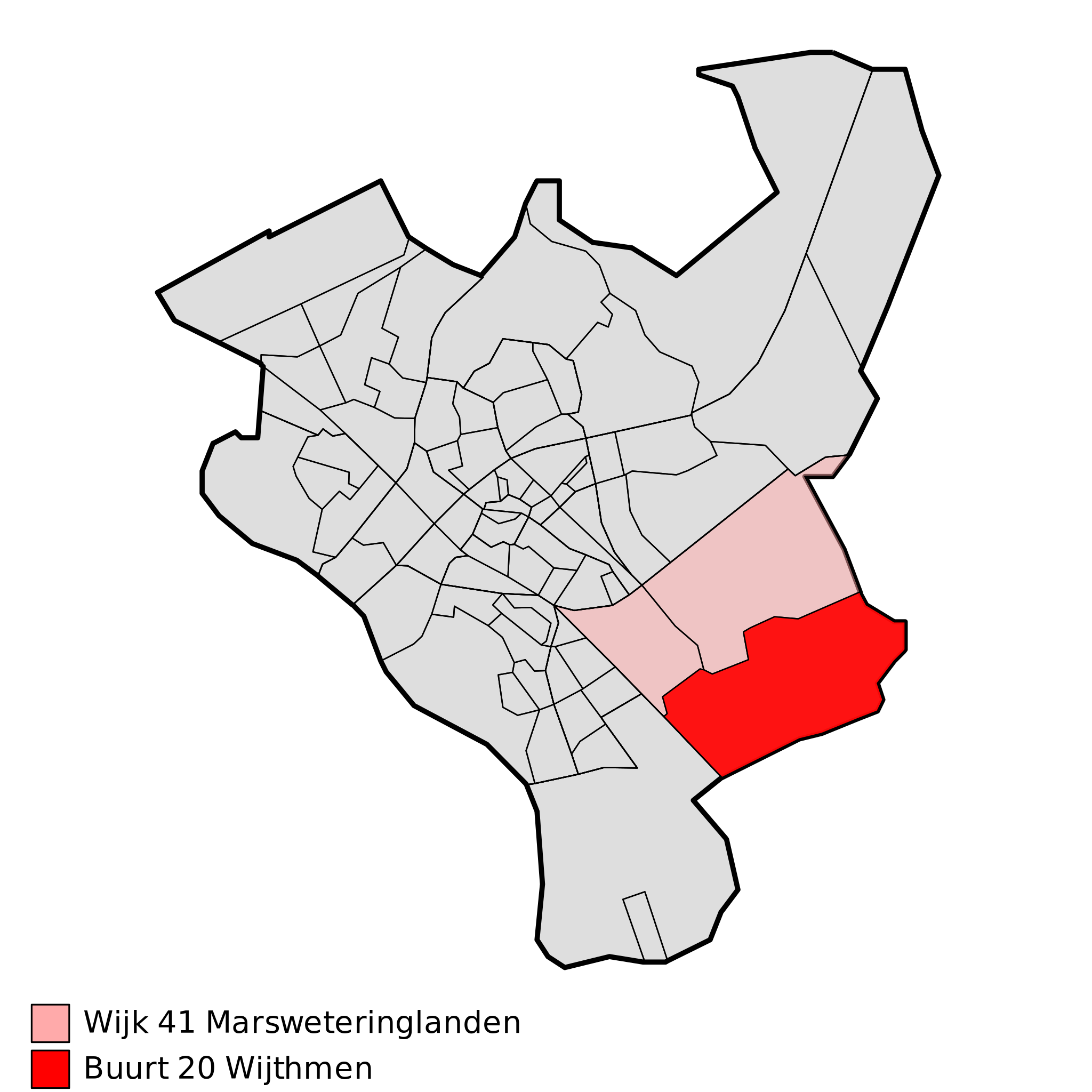
ملف:Map - NL - Zwolle - Wijk 41 Marsweteringlanden - Buurt 20 Wijthmen.svg

حجم معاينة PNG لذلك الملف ذي الامتداد SVG: 375 × 375 بكسل. البعد الآخر: 2٬048 × 2٬048 بكسل.
الملف الأصلي (ملف SVG، أبعاده 375 × 375 بكسل، حجم الملف: 48 كيلوبايت)
| ⧼wm-license-information-description⧽ |
|
||
| ⧼wm-license-information-date⧽ | 2009 | ||
| ⧼wm-license-information-source⧽ | own work using free available sources | ||
| ⧼wm-license-information-author⧽ | Michiel1972,
|
||
| ⧼wm-license-information-permission⧽ (⧼wm-license-information-permission-reusing-text⧽) |
Attribution ShareAlike 3.0 |

|
|
هذا الملفُّ مُرخَّص بموجب رخصة المشاع الإبداعي نسبة المُصنَّف إِلى مؤلفه - المشاركة بالمثل 3.0 العامة. |
تاريخ الملف
اضغط على زمن/تاريخ لرؤية الملف كما بدا في هذا الزمن.
| زمن/تاريخ | صورة مصغرة | الأبعاد | مستخدم | تعليق | |
|---|---|---|---|---|---|
| حالي | ★ مراجعة معتمدة 17:41، 22 يناير 2024 | | 375 × 375 (48 كيلوبايت) | Pastakhov (نقاش | مساهمات) | Upload https://upload.wikimedia.org/wikipedia/commons/b/b4/Map_-_NL_-_Zwolle_-_Wijk_41_Marsweteringlanden_-_Buurt_20_Wijthmen.svg |
لا يمكنك استبدال هذا الملف.
وصلات
لا يوجد صفحات تصل لهذه الصورة.